
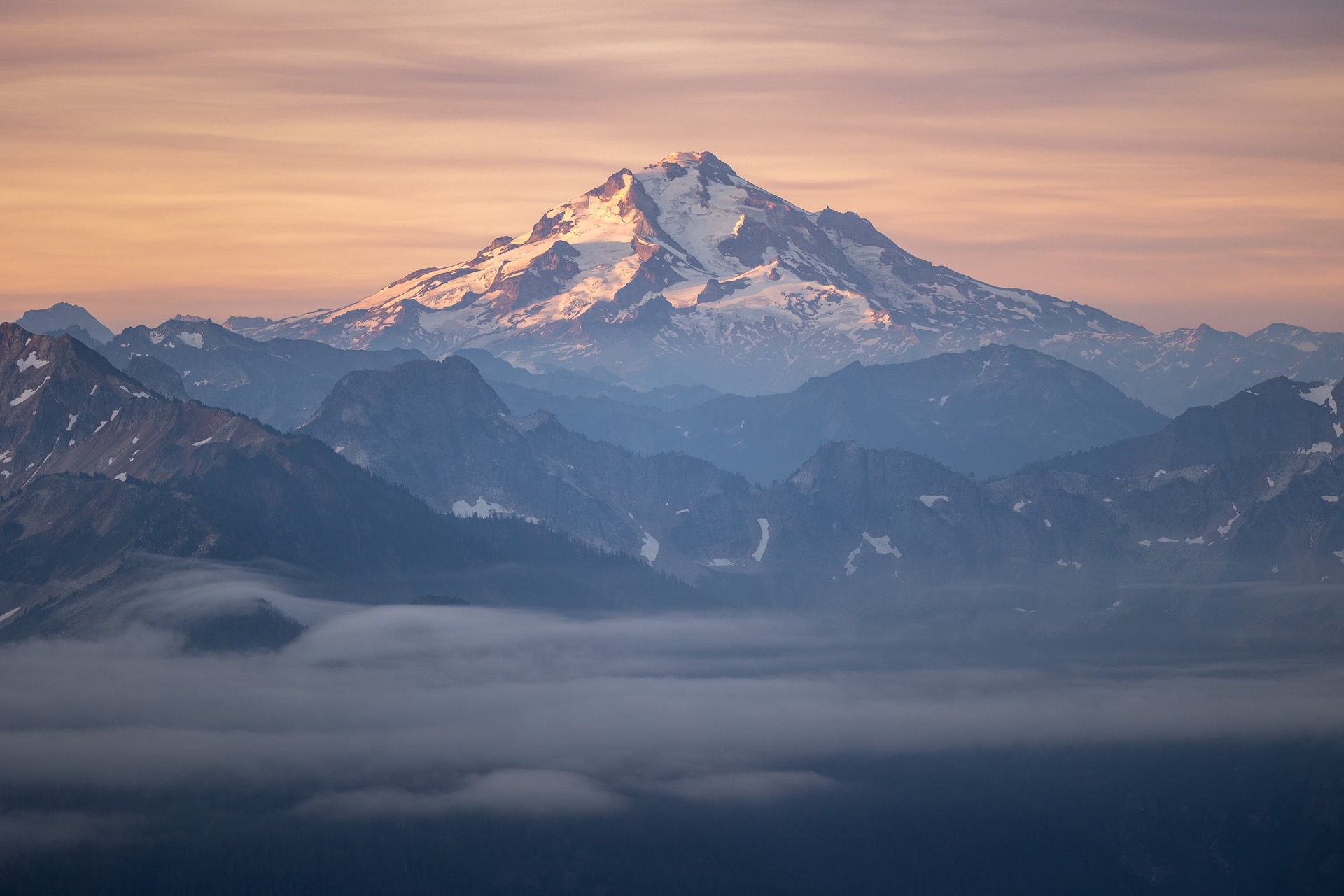
USA: Discovering the Northwest.
Washington · Montana · Wyoming
One year after our road trip between Denver and Los Angeles, we returned to the United States for another journey, this time through the northwestern United States. The previous year, we had really enjoyed traveling this way: renting a 4x4, hitting the road, crossing vast landscapes and discovering the parks as our route unfolded. We wanted to experience that freedom again, but in a completely different region.
This time, we chose to make a loop from Seattle. It was simpler logistically, especially for renting the car and returning it to the same place. The aim was to discover new parks and new landscapes, and to continue exploring the United States at our own pace, between scenic roads, hikes, backcountry camps and a few wilder tracks.
North Cascades National Park
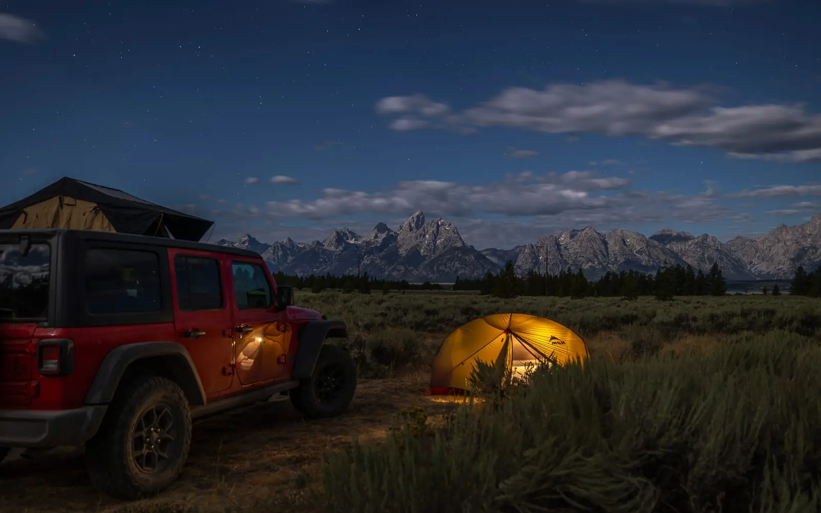
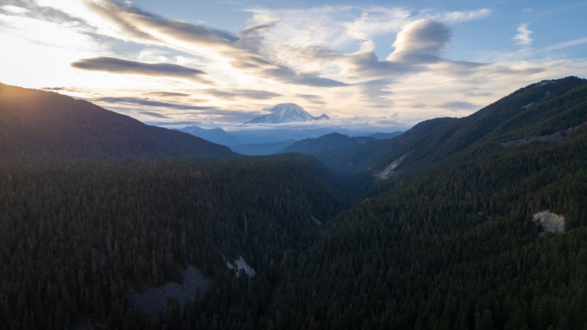
North Cascades National Park marked our first real stop in the mountains of the northwestern United States. It takes only a few hours to reach the park entrance from Seattle, allowing us to enter a much wilder environment fairly quickly. Compared with the other parks we had visited until then, North Cascades was also much less crowded, which suited us rather well. It is apparently one of the least visited national parks in the United States.
A lovely campsite for our first night
Arriving at Hidden Lake
Heading to Hidden Lake Lookout
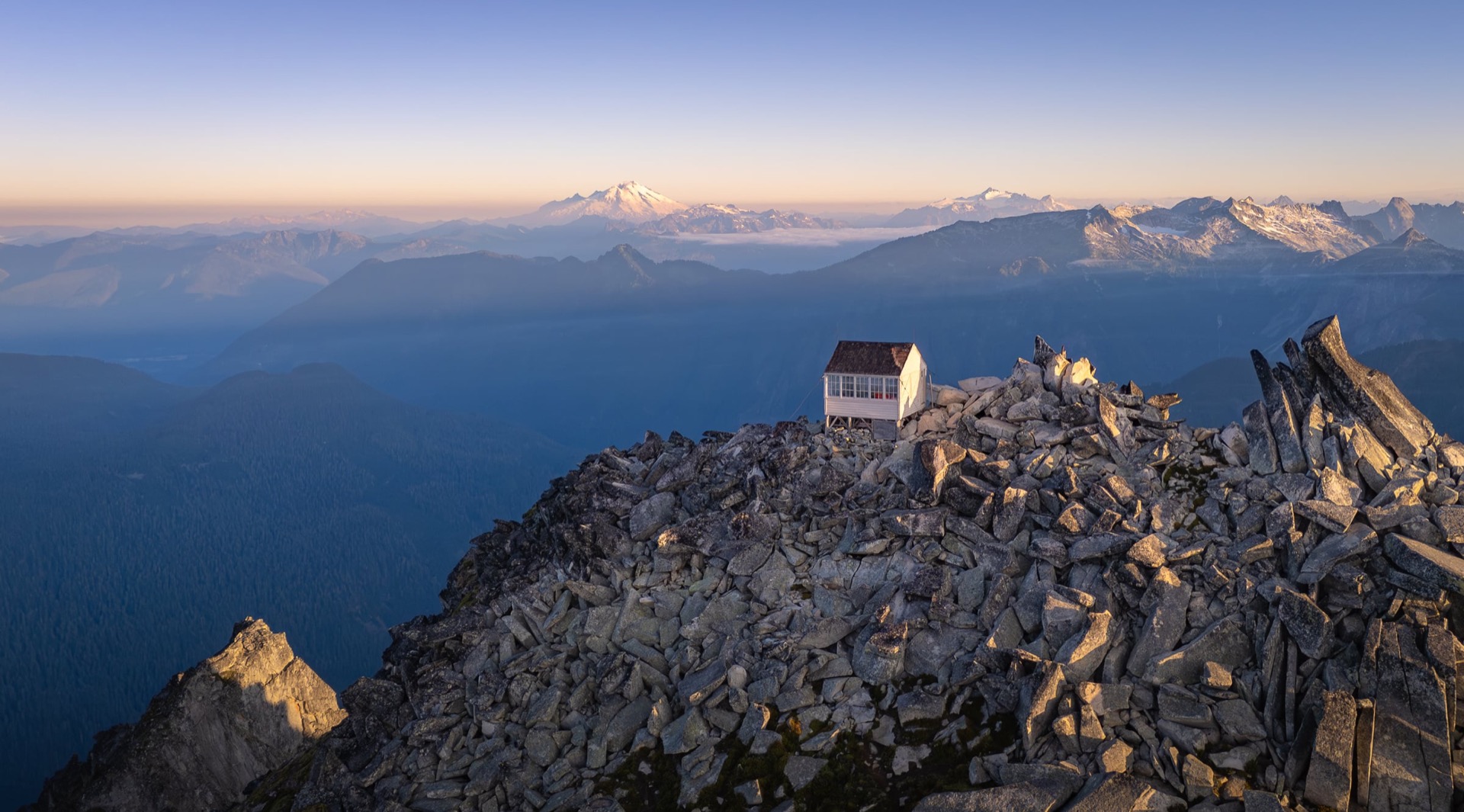
After spending our first night dispersed camping near the park entrance, we finally enter the national park proper. We begin by heading to the Hidden Lake Lookout area, on the edge of the park. Here, “lookout” refers to one of the old fire lookout towers found throughout the mountains of the United States. These are often small cabins perched high above the surrounding landscape, with 360-degree views that allowed rangers to spot fires as they started. Some are still in use while others have been decommissioned, but they remain wonderful hiking destinations, especially when it is possible to spend the night in one.
Can you spot the lookout perched at the very top?
Settled on our rock
No Luck Sleeping in the Lookout, but Still a Beautiful Wild Camp!
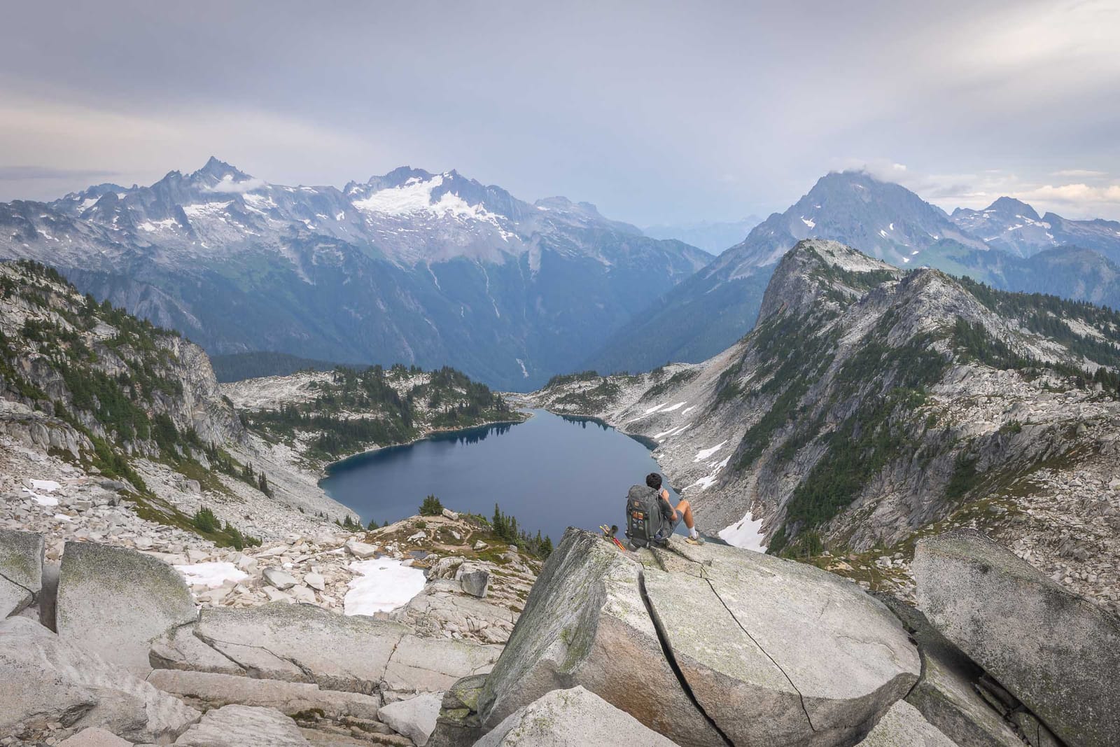
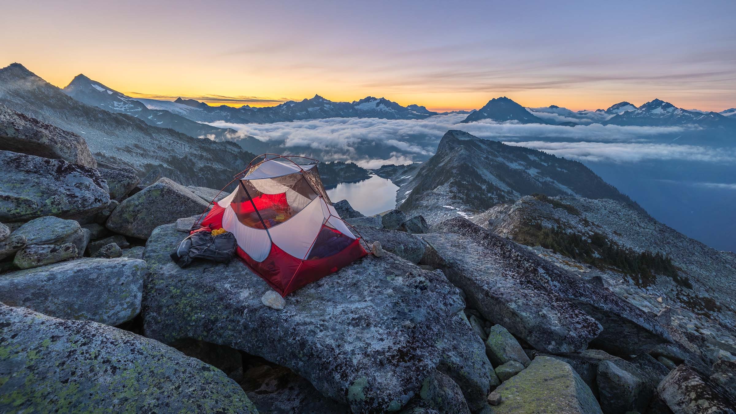
Our original idea was precisely to sleep in Hidden Lake Lookout. The advantage of this area is that part of the hike lies outside the national park, which makes it possible to bivouac without a wilderness permit, provided you stay outside the park boundaries. When we arrive at the lookout, a family is already settled inside. We therefore decide to let them enjoy the place on their own and pitch the tent a little farther away, on a large, flat granite slab with a beautiful view over Hidden Lake. The lake itself lies inside the park, but our campsite was right on its edge.
The lookout perched high above
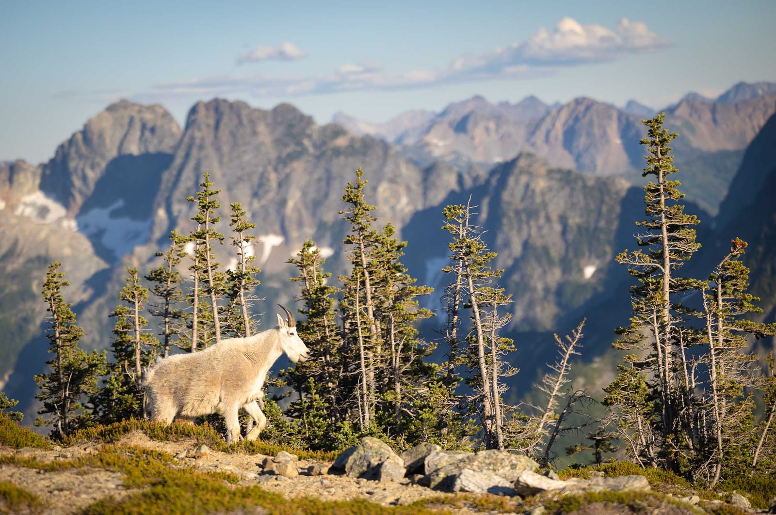
Mountain goat
We Continue in the Cascade Pass Area
The next morning, we hiked back down and collected a wilderness permit for a two-day loop around Cascade Pass and Sahale Arm. This time, we were properly entering the national park, where backcountry camping rules are stricter. We had originally hoped to sleep at Sahale Glacier Camp, a campsite fairly well known for its location, but it had already been fully booked for several months. We eventually obtained a permit for another campsite lower down in the forest. This still allowed us to climb toward Sahale Arm and enjoy the views over the surrounding peaks and glaciers. It was also in this area that we saw our first mountain goats of the trip, large white goats that are not very wary of people and quickly became one of the symbols of the mountain wildlife of the northwestern United States.
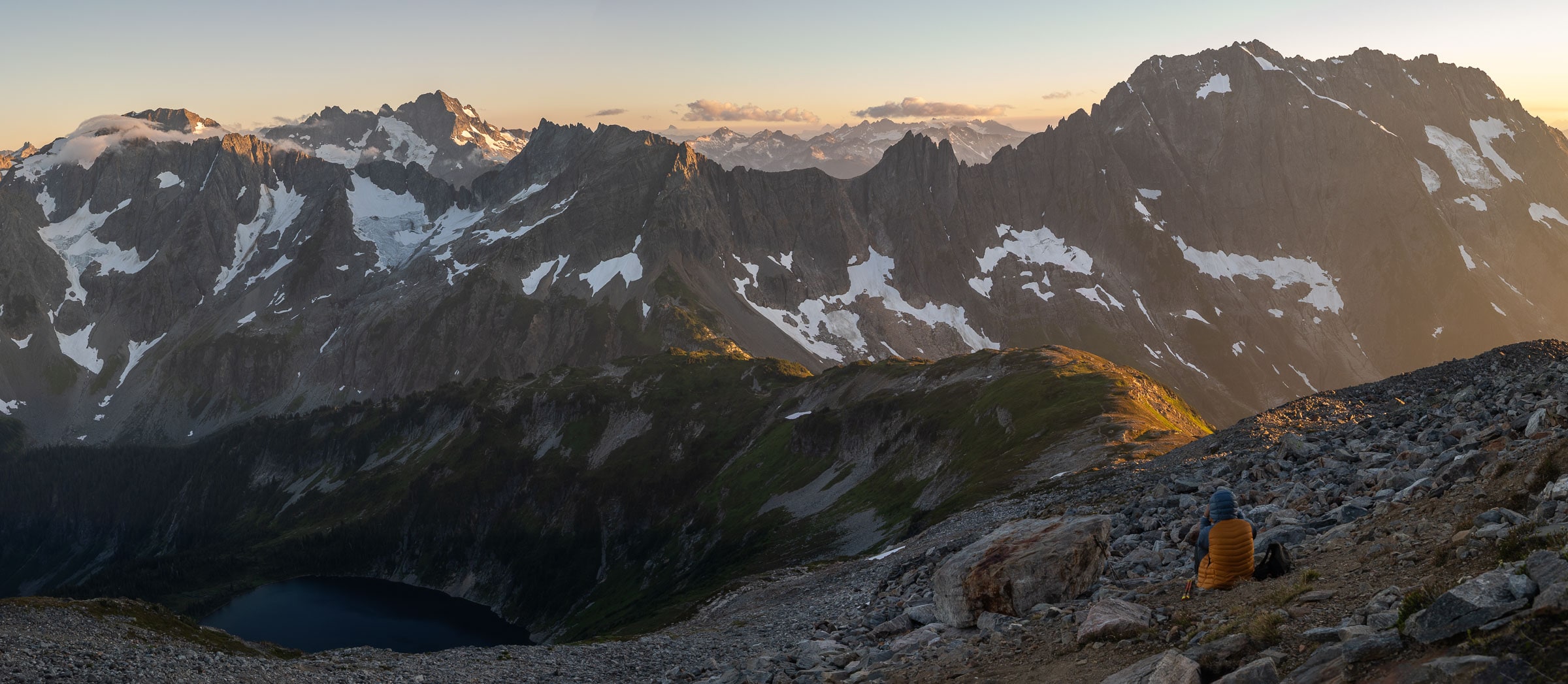
Romain takes in the view below Sahale Glacier
A wisp of mist
Back to Camp in the Dark...
Even though we are not sleeping at Sahale Glacier Camp, we still climb up to Sahale Arm to enjoy the place until sunset. The light becomes truly beautiful on the peaks and glaciers around us, and we take the time to stay up there until the very last moment. We quickly understand why this campsite is so sought after: the location is exceptional, with a very open view over the North Cascades mountains.
It is also toward the end of the day that we see the most animals. We spend a great deal of time photographing mountain goats, which are not very wary and move calmly around the trail. We also see a ptarmigan and several pikas, those small animals that you often hear before spotting them among the rocks. Between the landscapes, the evening light and the wildlife, this area will remain one of our best memories of North Cascades.
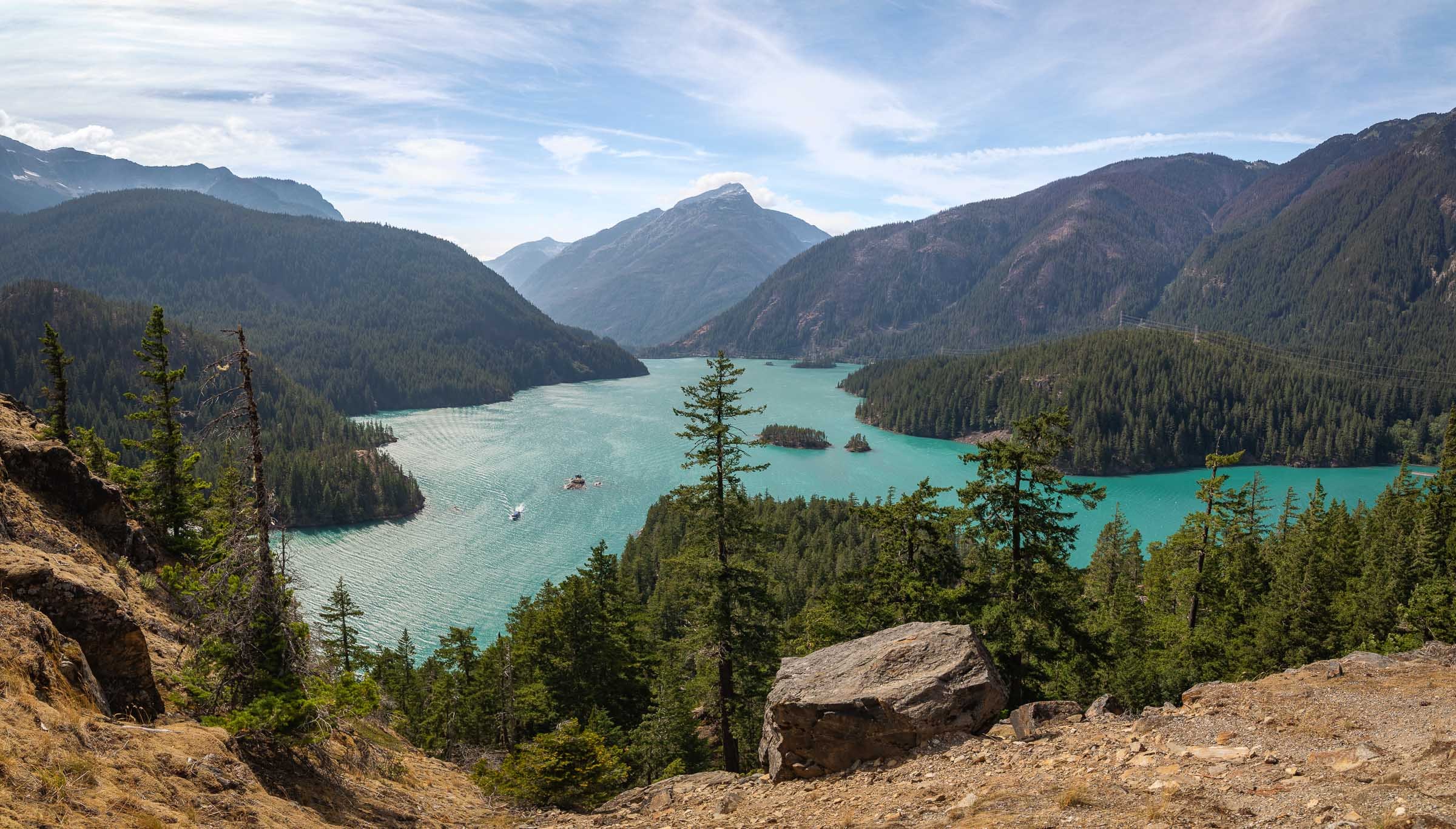
Diablo Lake
We Pack Up Camp and Get Back on the Road
We then descended to our campsite lower down in the forest, finishing the walk in the dark. The next day, before leaving North Cascades, we drove part of the park's scenic road. Unlike many other American national parks, North Cascades has no entrance fee, and access is fairly straightforward, without a traditional entrance station.
Before heading east again, we made one last stop at Diablo Lake Overlook. It is one of the park's best-known viewpoints, overlooking the lake and its striking turquoise color. After this final stop, we left North Cascades and headed toward Glacier National Park in Montana. The drive between the two parks takes around eleven hours in total, so we stopped in Spokane to break up the journey before setting off again the next day.
≈11 hdrive
Glacier National Park
Glacier National Park was probably the park I had been looking forward to most on this journey. We had originally considered traveling up to the Canadian parks, but that made the itinerary much more complicated and extended the road trip too far. Glacier therefore became a beautiful alternative, with landscapes that already recall the mountains of Canada. The park lies in the far north of Montana, on the Canadian border, right beside Waterton Lakes National Park.
We were also drawn to Glacier because its terrain is very different from that of the other parks in the Northwest. The mountains are more open, with distinctive geology, visible layers in the rock, broad glacial valleys and lakes with incredible colors. It is not really a landscape we find in Europe, and it would ultimately be the park where we stayed the longest and hiked the most during this journey.
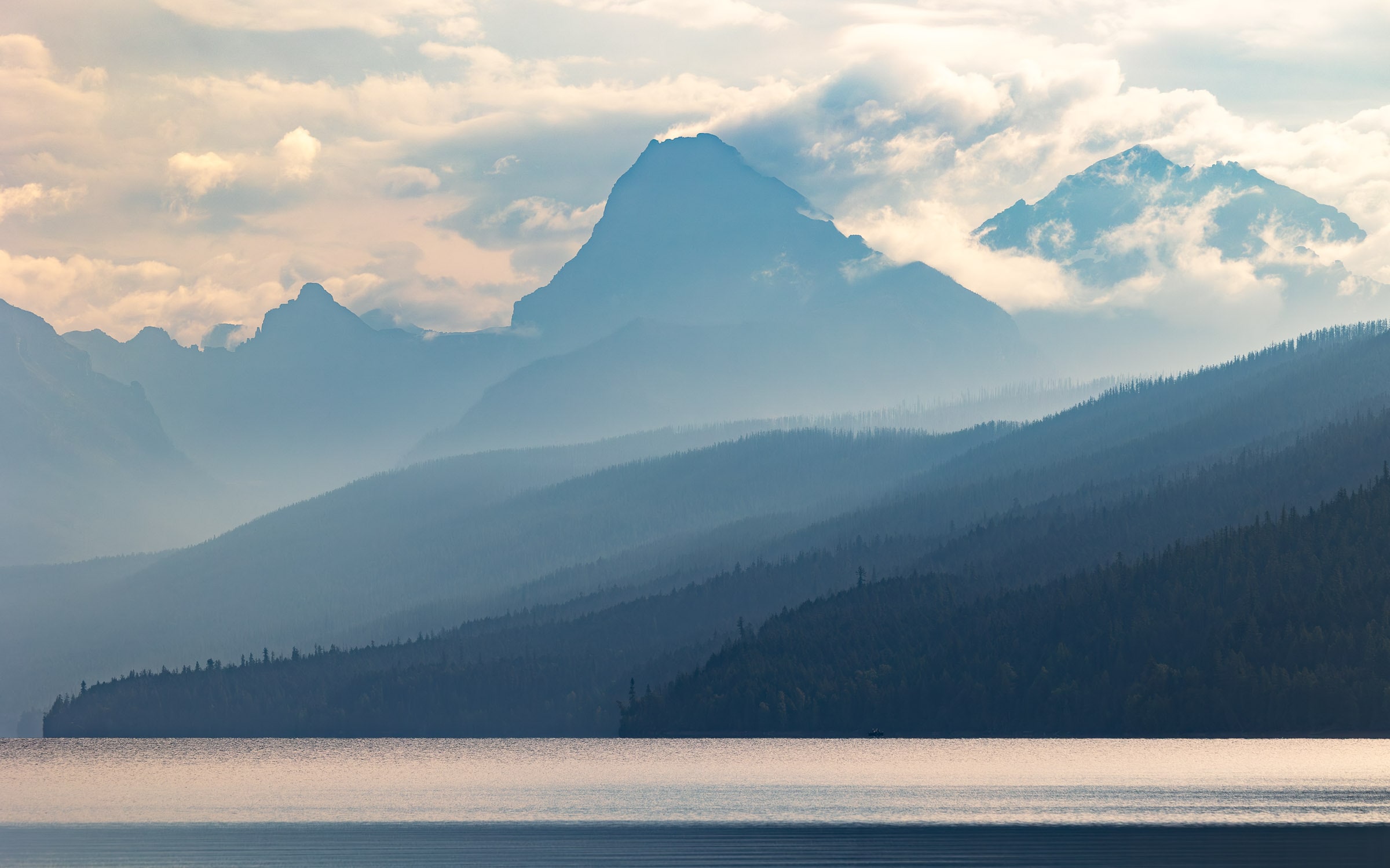
Lake McDonald in the early morning
Looking for a Backcountry Camping Permit
For our first days in Glacier National Park, we based ourselves around Lake McDonald. As we often do in American parks, we first stopped at the ranger station to see which wilderness permits were still available. The most popular areas were already heavily booked, but we eventually managed to obtain a permit for one night at Gunsight Lake. This allowed us to plan a two-day point-to-point hike between the Lake McDonald area and the road near Jackson Glacier Overlook. The full route is around 32 kilometers with a good amount of elevation gain, already making it a substantial two-day hike.
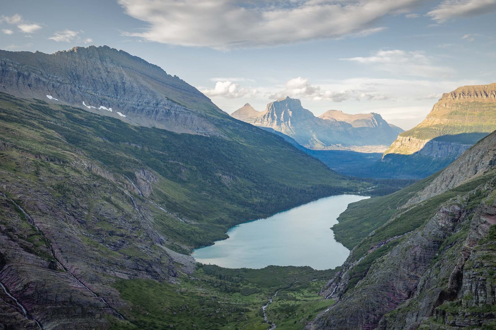
Gunsight Lake in sight. We "only" have to hike down now!
A Beautiful Two-Day Loop Through a Wild Area
The route took us through a beautiful part of the park, with several lakes along the way, including Gunsight Lake and Lake Ellen Wilson. It was a hike that we really enjoyed and would readily recommend: the landscapes are superb, and because you have to walk for some time to get away from the easiest access points, you ultimately meet relatively few people. We had originally considered extending the route with another night beside a lake, but in the end we did not.
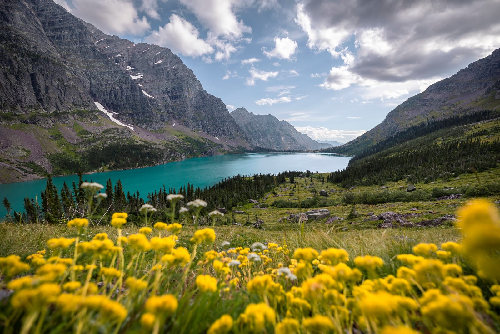
The magnificent Lake Ellen Wilson
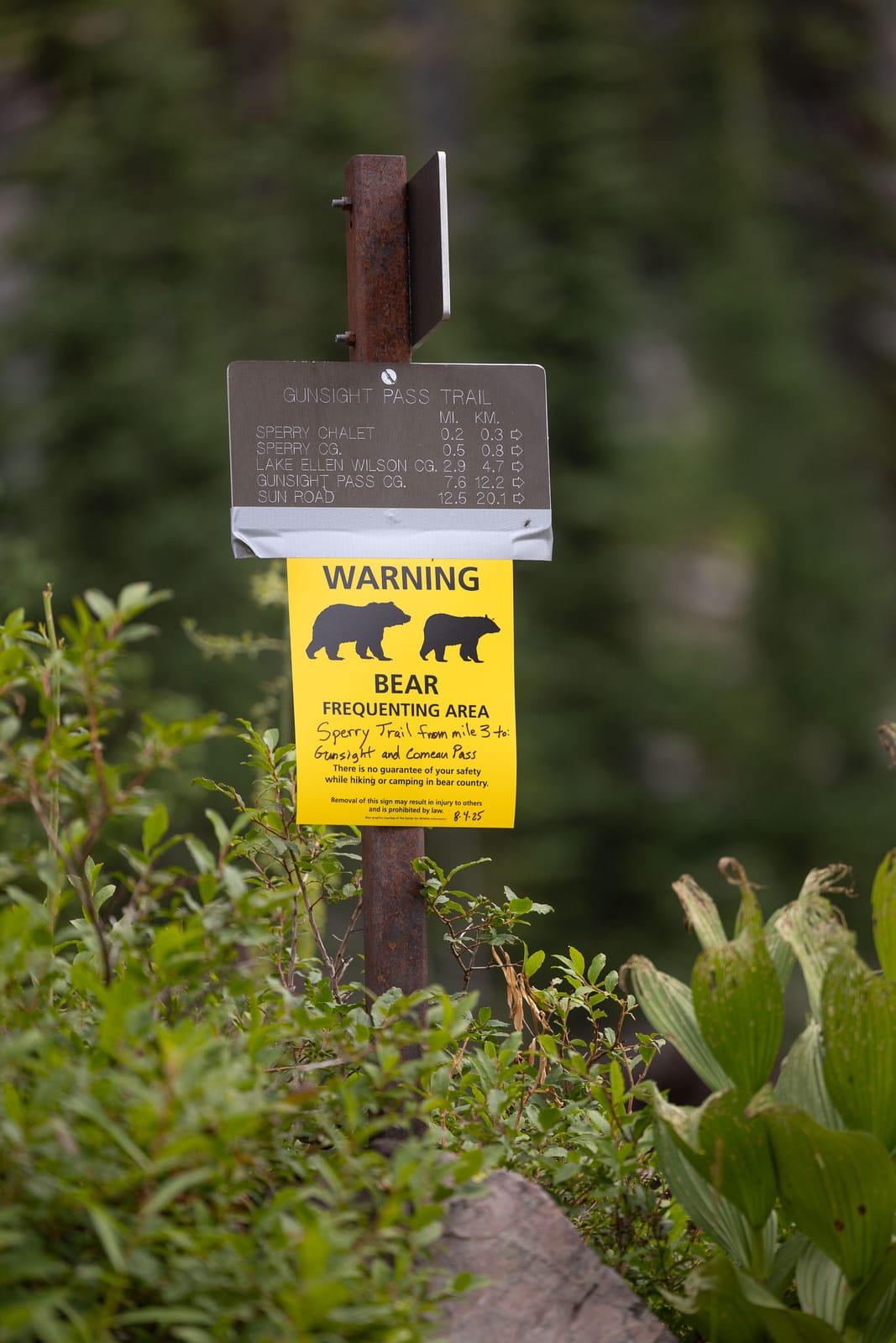
The kind of signs we regularly see in Glacier
Watch Out for Grizzlies!
Glacier is also one of the parks where the presence of bears is felt most strongly. When we collect our permit, the rangers make sure we are well informed about the subject: here, you can encounter black bears, but also grizzlies, which are larger and potentially more dangerous. We are therefore asked to carry bear spray, a pepper spray designed to repel a bear in the event of an attack. Along the trail, we naturally remain quite alert. We see a great deal of bear droppings on the path, which really gives us the impression that they could be nearby. Around Sperry Chalet, several people we meet tell us that they have seen a mother bear with her two cubs in the area.
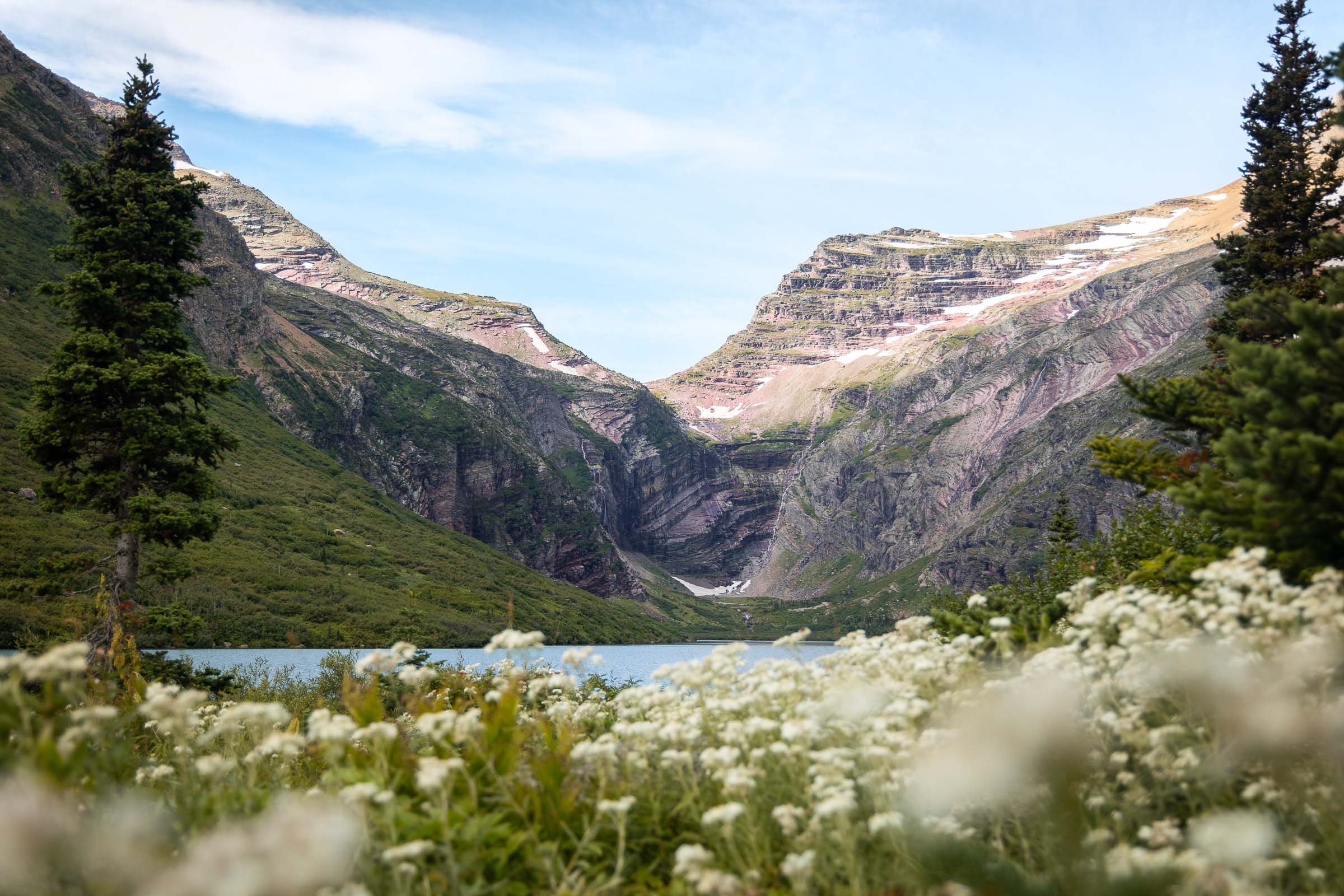
Near the Gunsight Lake campsite in the morning
We Reach the Campsite
After a long day of hiking, we reach our campsite at Gunsight Lake almost at sunset. The setting is magnificent, beside the lake with mountains all around. During this first day, we once again encounter mountain goats, still just as unafraid, and hear pikas all over the rocky areas. At night, a mountain goat even comes to visit us near the campsite, confirming just how accustomed these animals can be to the presence of people in some parts of the park.
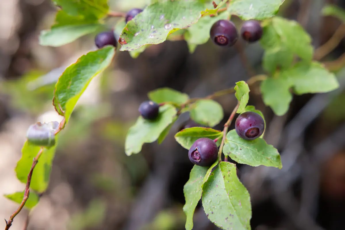
Huckleberries
A Feast of Berries
The next day, we continue our point-to-point hike toward the road. During this second day, we also make the most of the small berries growing along the trail. Early August is peak season and they are everywhere: huckleberries, which are like large blueberries with a very distinctive flavor and are very well known in this region, raspberries, and also thimbleberries. The latter look like flatter, very delicate raspberries, with a wonderfully subtle and fragrant flavor. It is a small detail, but it is also part of what we loved about Glacier: those long hikes through the mountains, stopping regularly to eat wild berries beside the trail.
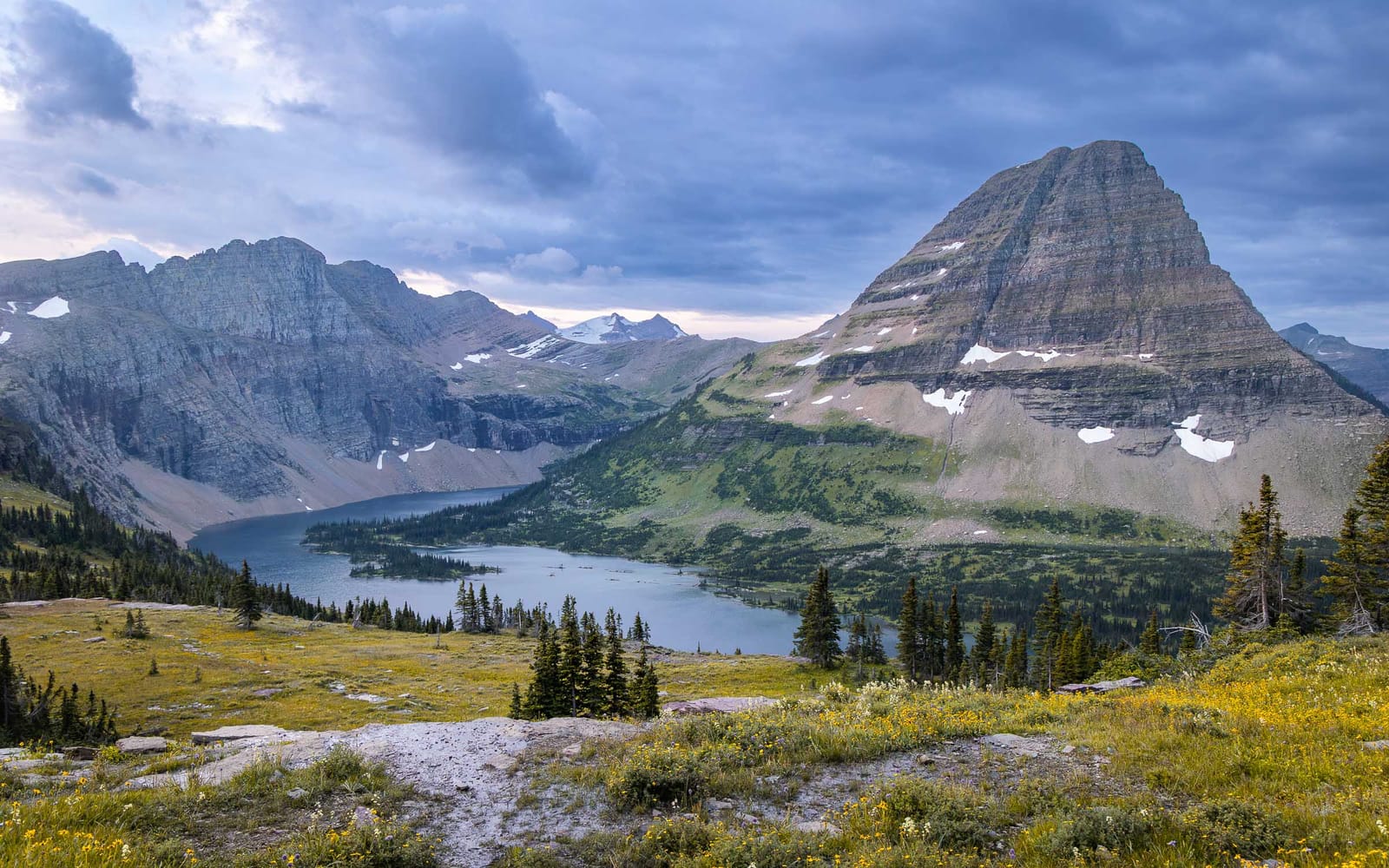
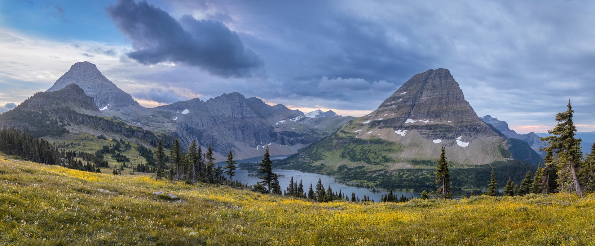
The famous view of Hidden Lake
Finishing With Sunset at Hidden Lake
Once we finish the point-to-point hike near Jackson Glacier Overlook, we still have one small logistical challenge: retrieving the car, which is still in the Lake McDonald area. We therefore have to take the park shuttle, which we wait quite a long time for. The journey itself also takes a while, but we eventually reach Lake McDonald and recover our 4x4.
That evening, we decide to drive back toward Logan Pass for one last short hike before nightfall: Hidden Lake Overlook. It is an easy and very well-known walk in the park, which quickly leads to a beautiful viewpoint over Hidden Lake, with Bearhat Mountain just behind it. After sunset, we get back in the car and drive out of the park in the dark.
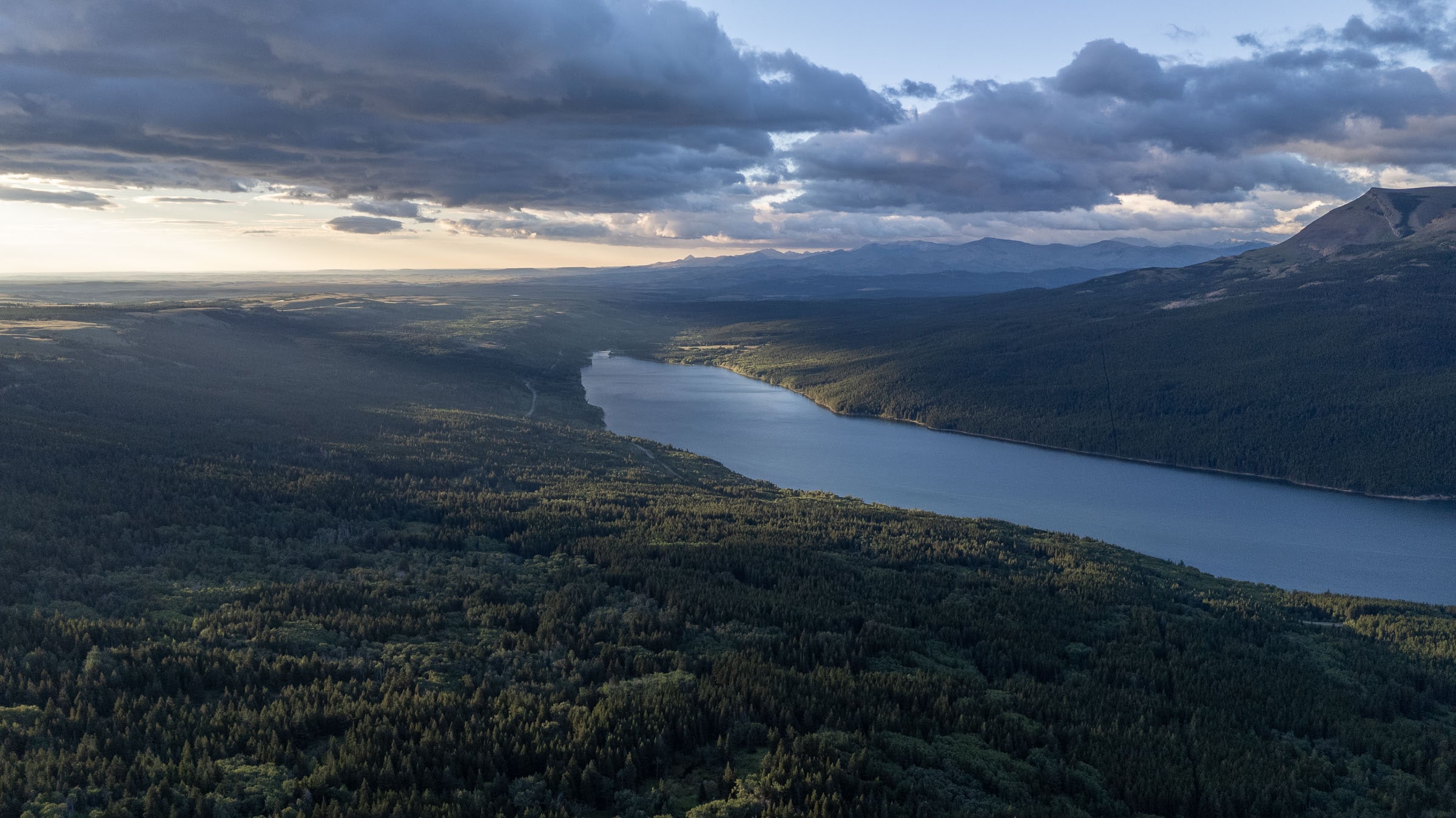
Two Medicine Lake in the distance
Finding a Spot for the Night
As we had neither a permit to sleep in the backcountry nor a place in one of the park's campgrounds, we had to find somewhere outside the park to sleep near the car. Campgrounds are developed campsites inside national parks, often fairly basic and paradoxically rather expensive when they are located within a park. They too are in very high demand during the busy season. We drove our Jeep along steep mountain tracks until we finally found a quiet place in the middle of nowhere to pitch the tent. That is the advantage of having a 4x4 that can go almost anywhere!
Our campsite near the park
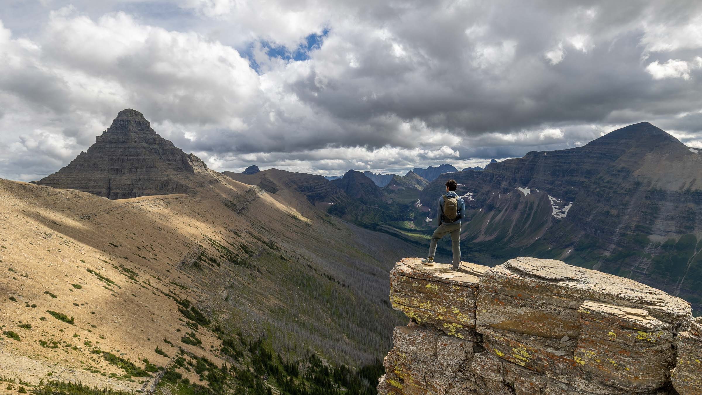
In the distance, the rest of our hike
Toward the Two Medicine Area
I had originally really wanted to do the most classic hikes in the Many Glacier area, known for its large glacial lakes. But with no backcountry permit available there, we ultimately decide to head for a less visited area: Two Medicine. The following day, we therefore set out on the Pitamakan-Dawson Loop, a large day hike of around 30 kilometers. The route allows us to discover a good part of this area, with several lakes including Oldman Lake, Pitamakan Lake and No Name Lake, as well as long traverses high above the valleys around mountains that clearly display Glacier's distinctive geology.
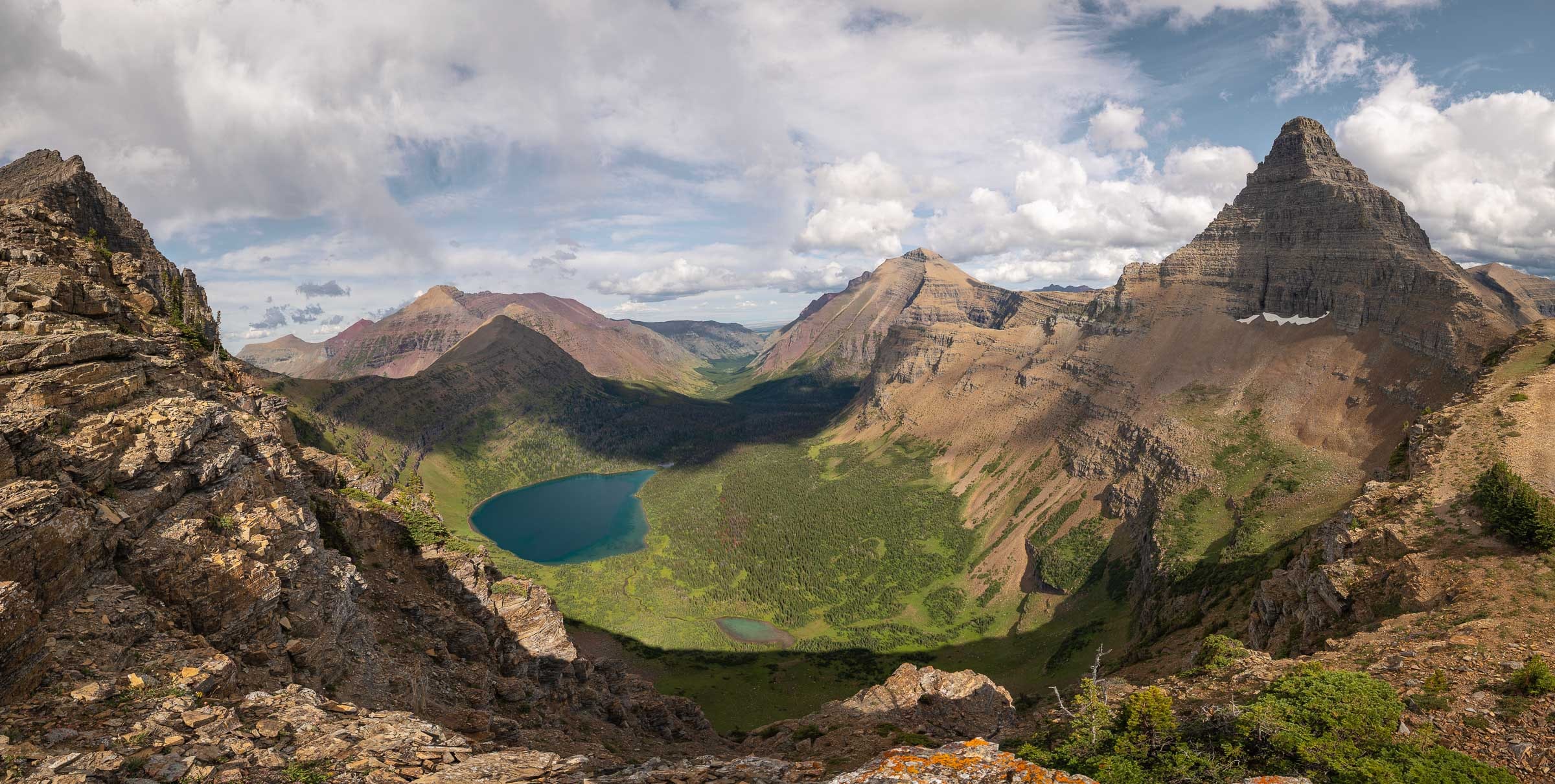
Oldman Lake near Dawson Pass
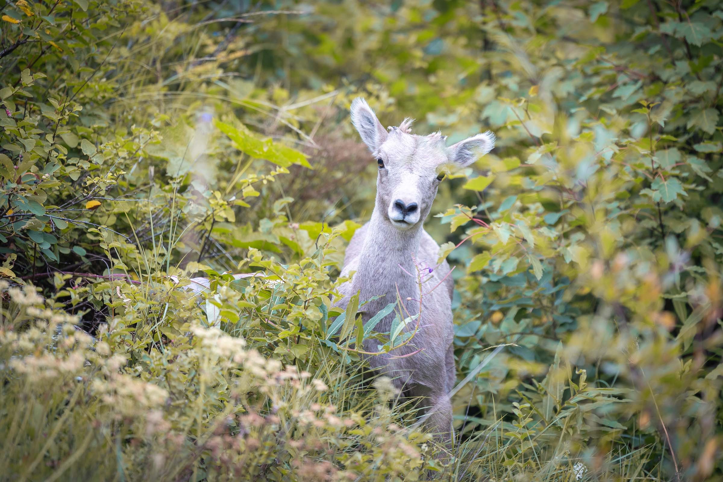
A young bighorn sheep
Meeting the Bighorn Sheep
The weather was not very good, it was windy and the day was long, so we had to keep up a good pace. But we met barely ten people on the entire loop, which made the hike feel truly quiet and wild. Near the end of the route, we also encountered a small herd of bighorn sheep with several young. It was another beautiful wildlife encounter, adding an animal that had still been missing from our list of mountain species seen during the journey.
After this long day, we were understandably tired. Fortunately, we managed to find a place at Two Medicine Campground, which saved us from having to leave the park again to look for somewhere to sleep. That evening, we could simply settle in and go straight to bed after the hike.
Beauty in the details
Glacier, I Will See You Again!
I would really have liked to stay for several more days in Glacier National Park. It was the park I had been looking forward to most during this trip, and we still felt that we had seen only part of what it had to offer. But we had to continue our itinerary and reach the other parks planned along the loop. We therefore get back on the road toward the south and Yellowstone National Park, with several more hours of driving ahead of us.
≈6 h 45drive
Yellowstone National Park
Yellowstone National Park is one of the most iconic parks in the United States. It is also one of the furthest points on our loop from Seattle: after this stop, we would gradually begin heading west again to continue the journey.
Yellowstone is immense, and that becomes clear very quickly when planning the route. It is not a park you cross quickly: traveling from one area to another can already take several hours, and it takes almost a full day, or even longer, to go from one end to the other if you take time to stop. As we had not planned to stay very long, we inevitably had to make choices.
We arrived from the north, coming from Glacier, with the aim of seeing some of the park's most characteristic landscapes. Above all, we wanted to discover its geothermal activity, geysers, colorful pools and natural phenomena that we would not find in the other parks on the trip.
The elk in Gardiner!
Arrival in Yellowstone
After the drive from Glacier, we spent a night in Gardiner, one of the last towns before Yellowstone's north entrance. You could say that we then explored the park more like typical tourists. Unlike in Glacier, we did not do a long hike or follow a multi-day route. The idea was instead to drive from one area to another, then take short walks to see as much as possible in a limited amount of time. Yellowstone is absolutely immense. With only two or three days, you really have to focus on one area rather than try to travel from one end of the park to the other.
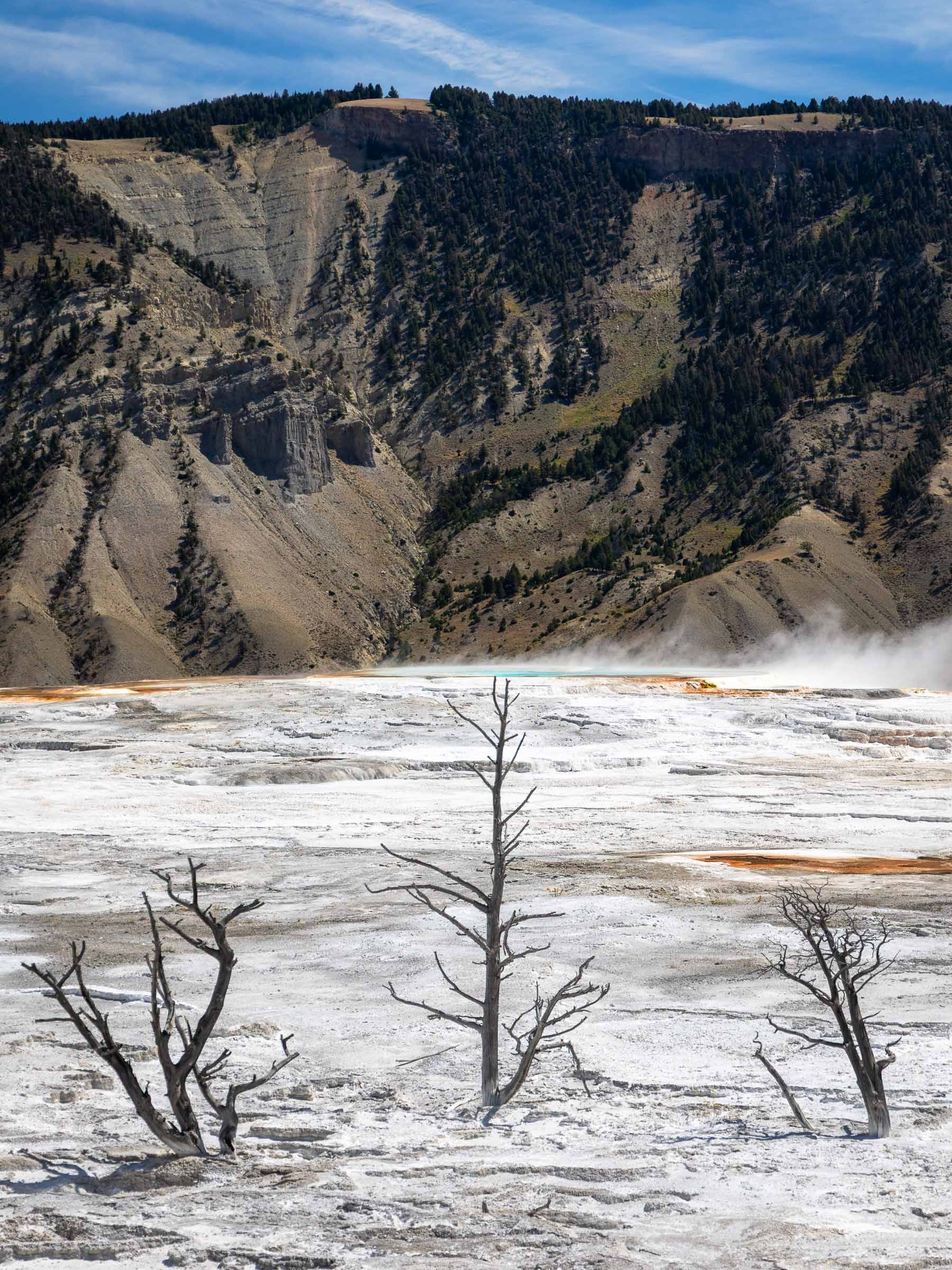
Yellowstone's otherworldly landscapes
Mammoth Hot Springs
The next day, we began with the Mammoth Hot Springs area. It was our first real encounter with Yellowstone's geothermal activity. We walked along wooden boardwalks among hot springs and travertine terraces. It was not yet the image of large geysers that we had in mind, but it already gave us a first glimpse of this very distinctive part of the park.
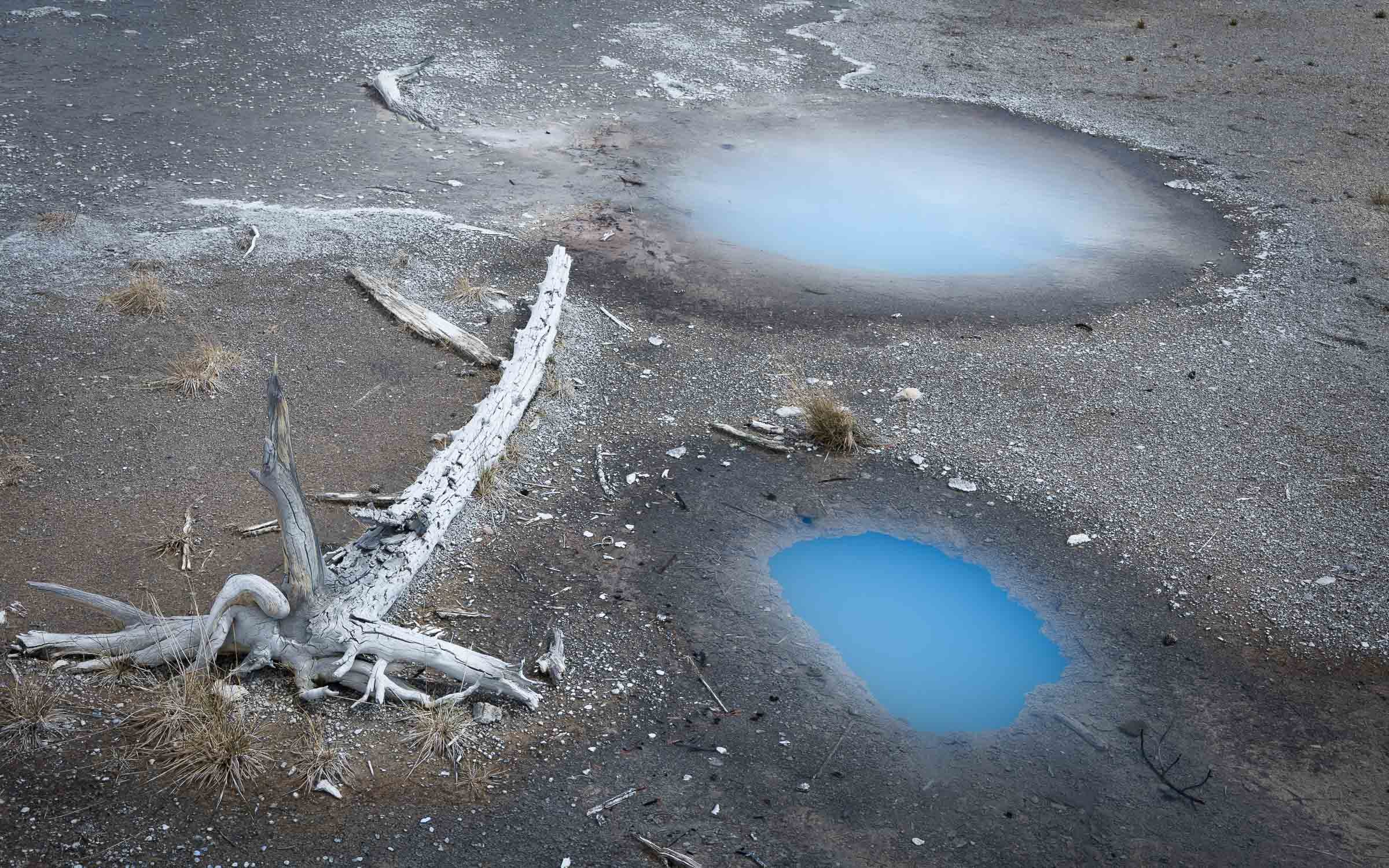
Astonishing colors
Norris Geyser Basin
We then continued toward Norris Geyser Basin, where we discovered more pools, hot springs and small fumaroles. We followed the boardwalks through Porcelain Basin and Back Basin, which allow visitors to see many geothermal features within a fairly small area. It is a very interesting area, with colors, steam and smells that really remind you that the park sits on an active volcanic zone.
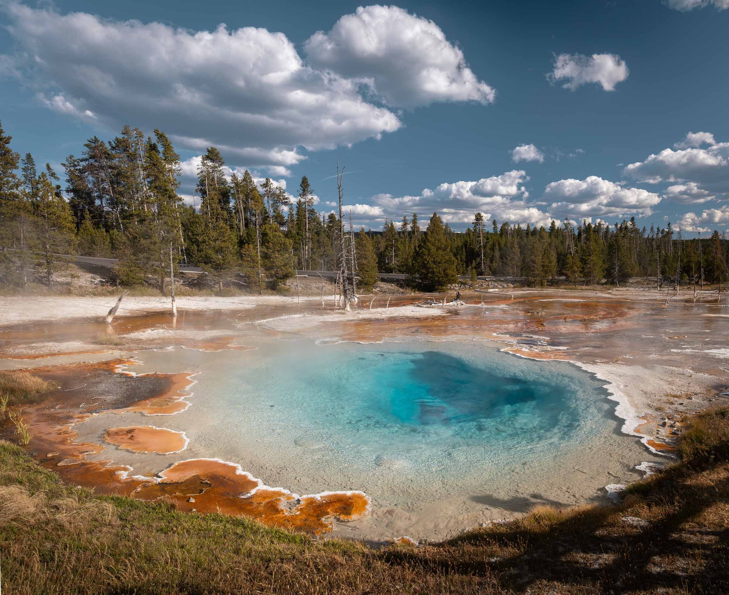
Silex Spring, a spring we really liked
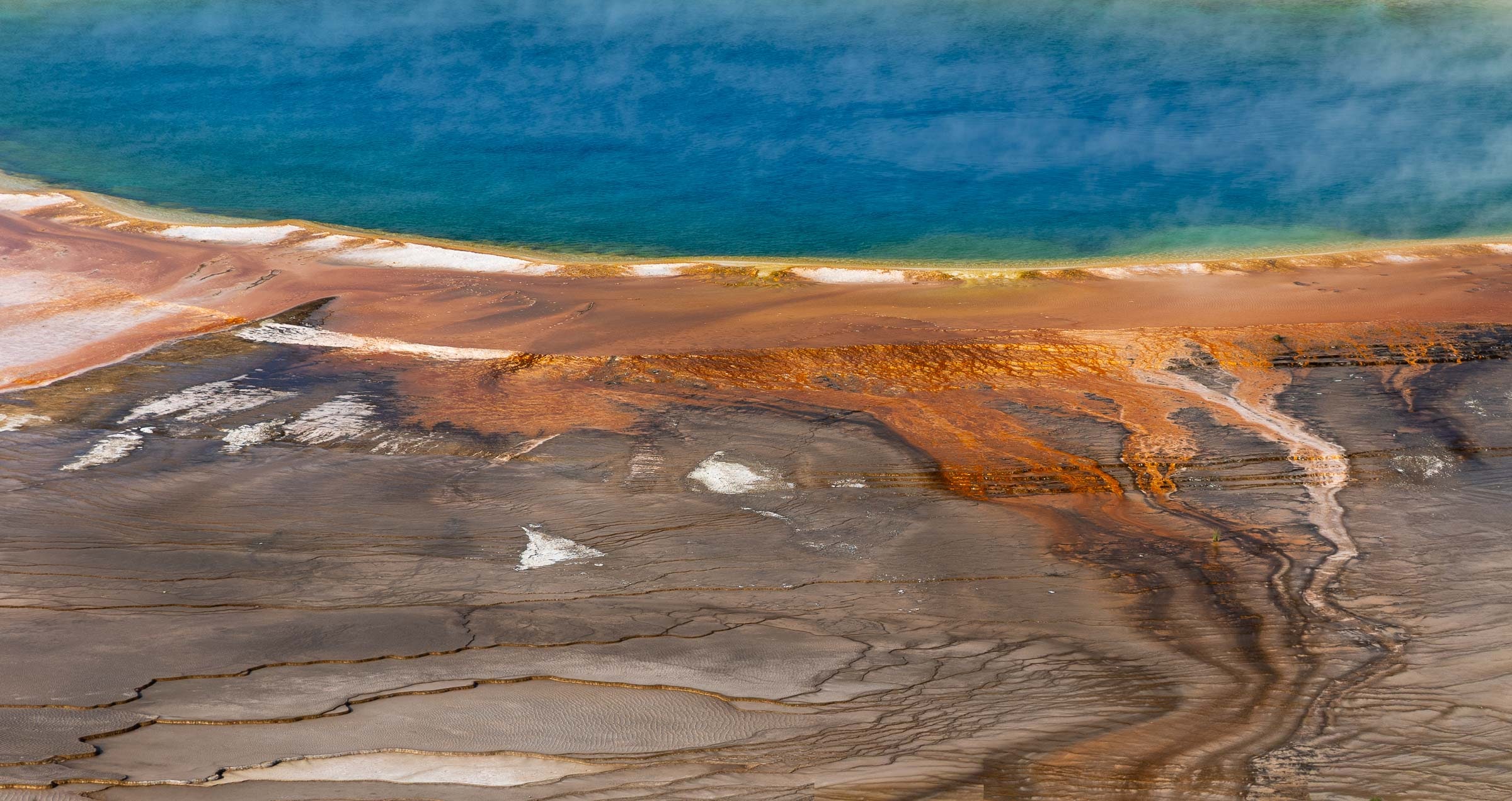
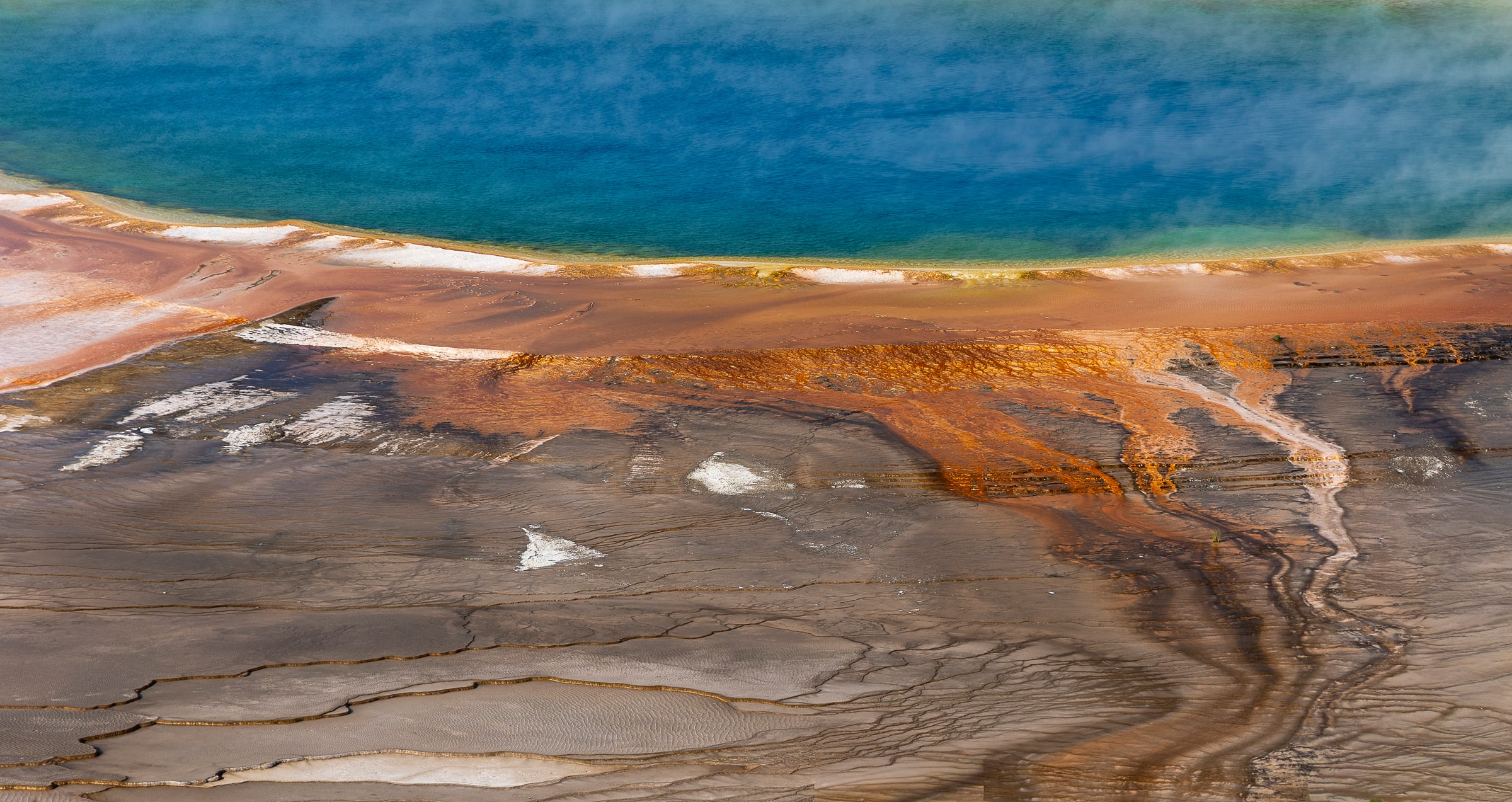
Detail of the famous Grand Prismatic Spring
The Park's Most Iconic Sights
Later that day, we reached Grand Prismatic Spring, one of the park's best-known places. To appreciate its colors more fully, we climbed to Grand Prismatic Spring Overlook, a short out-and-back trail that gives a slightly higher view over the hot spring. From the viewpoint, the rings of color around the pool are much easier to distinguish than from the boardwalks, and it is easy to understand why this place has become one of Yellowstone's most famous images.
At the end of the afternoon, we finished at Old Faithful, the park's most iconic geyser. Its eruptions are predictable, and the estimated times are displayed so that visitors can plan accordingly. We waited for the announced time to watch it erupt before heading to Madison Campground for the night. Sleeping inside the park is very practical in Yellowstone: it avoids having to drive back out in the evening and helps reduce the amount of traveling, which can quickly take a great deal of time.
We arrive in time for Old Faithful's eruption, which takes place every 90 minutes
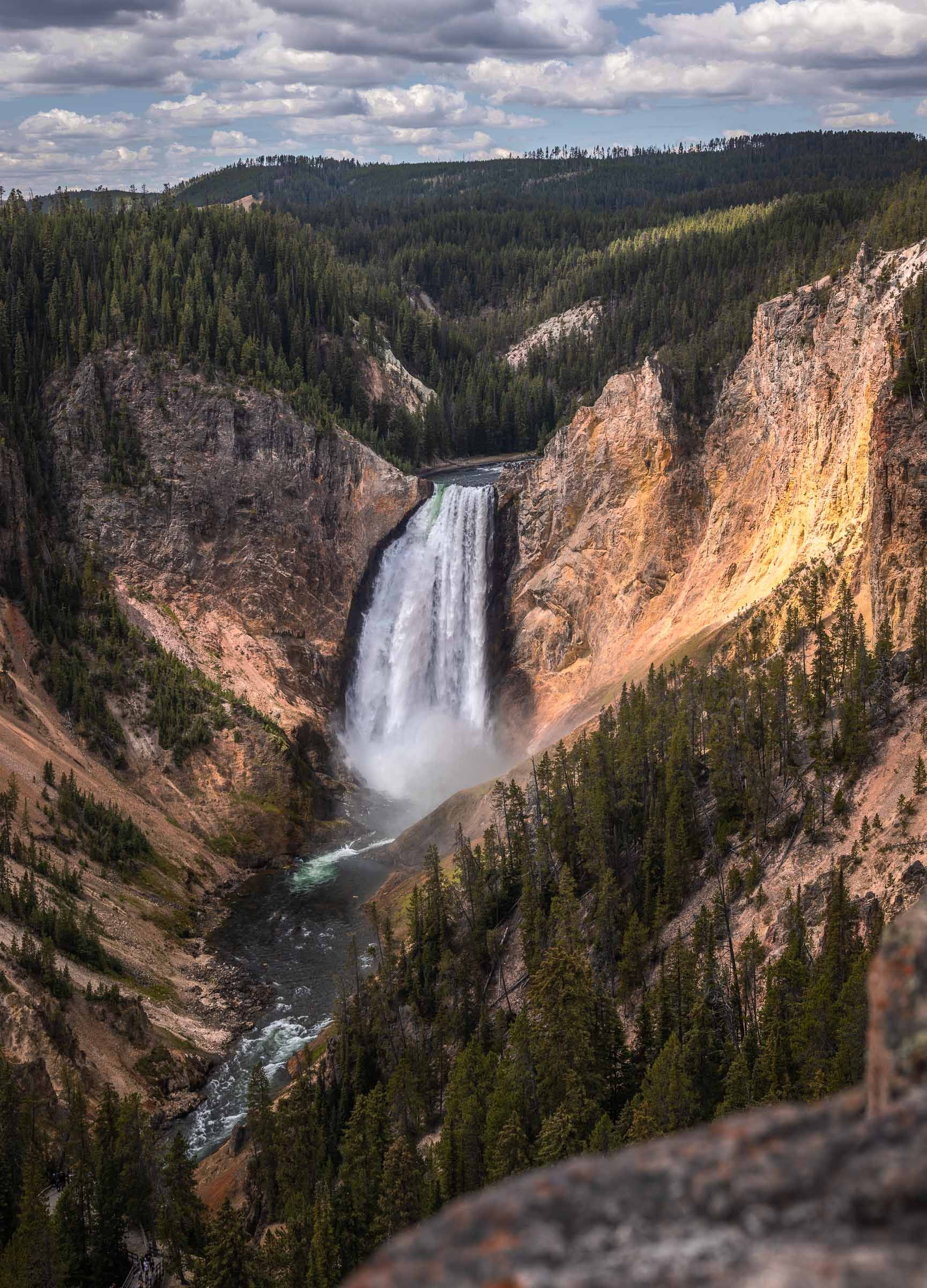
An immense waterfall rises before us
The Impressive Grand Canyon of the Yellowstone
The next day, before leaving Yellowstone, we discovered one final area of the park: the Grand Canyon of the Yellowstone. It also shows just how vast and varied the park is. After the geysers, hot springs and colorful pools, we now found ourselves facing a canyon carved by the Yellowstone River, with yellow and orange walls and several viewpoints over the waterfalls.
We took a short walk to reach one of these viewpoints and see Lower Falls, the large waterfall in this area. The landscape was quite different from what we had seen the day before: more enclosed and more mineral, with the river winding along the bottom of the canyon. It was another side of Yellowstone, and we were glad to have seen it before returning to the road.
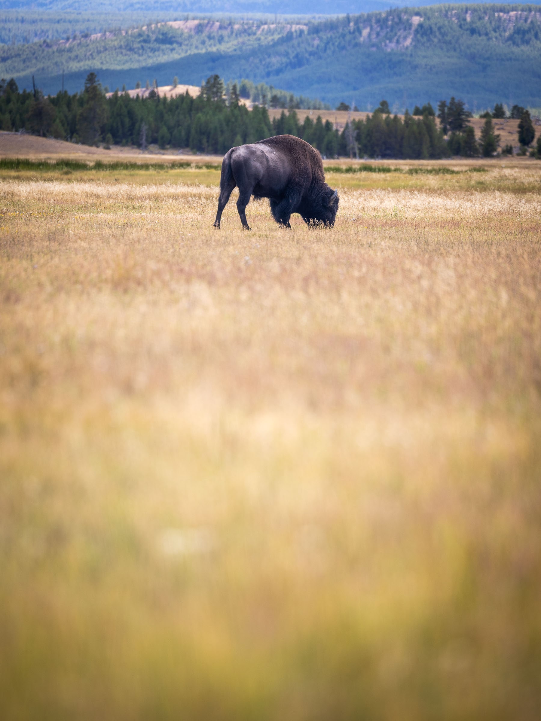
One of the few bison we saw in Yellowstone
A Sense of Unfinished Business...
Yellowstone is also very well known for its wildlife, particularly its bears and bison. We briefly spotted a grizzly in the forest not far from the road, just long enough to realize how imposing these animals are. We were still a little disappointed not to have seen more of them elsewhere in the park. The same was true of the bison, one of Yellowstone's great symbols: we probably did not stay long enough to see the large herds we had imagined before coming.
We therefore left Yellowstone feeling that we had seen only a small part of it. It is an immense park that would require much more time. We had to continue our loop, so we set off toward Grand Teton National Park, very close to Yellowstone, with around one to two hours of driving depending on which part of the park you leave from.
≈2 h 15drive
Grand Teton National Park
After Yellowstone, we reached Grand Teton National Park, just to the south in Wyoming. The two parks are very close and are easy to visit one after the other on a road trip, yet their landscapes are very different. After Yellowstone's geysers, hot springs and broad plateaus, we returned to a much more alpine setting, dominated by a sharply outlined mountain range.
The park takes its name from the Teton Range, the line of peaks that forms Grand Teton's most iconic view. It may not be the first park that comes to mind from Europe, but it is well worth a stop when visiting this region.
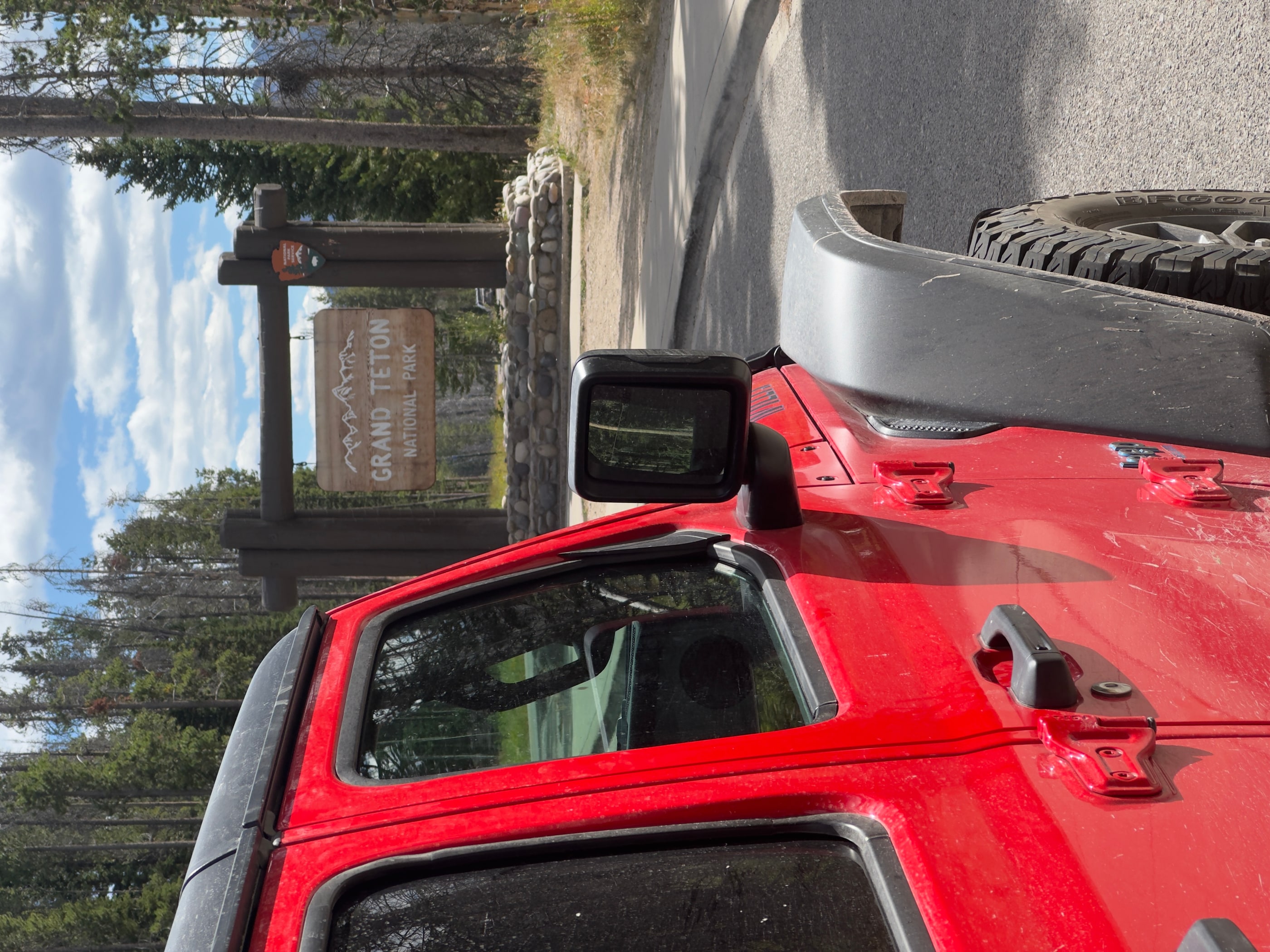
A tradition in every park: the signs!
A Difficult First Night Near the Park
Arriving from Yellowstone, we quickly realized that finding somewhere to sleep around Grand Teton was not so simple. Every campground in the park was already full, and even the dispersed camping areas around it were fairly saturated. Camping is prohibited in many places, particularly near roads and the closest access points to the park. We still managed to find a place for the night thanks to someone who agreed to share their spot with us. It was also then that we understood that, although Grand Teton is less well known in Europe, the park is very popular with Americans.
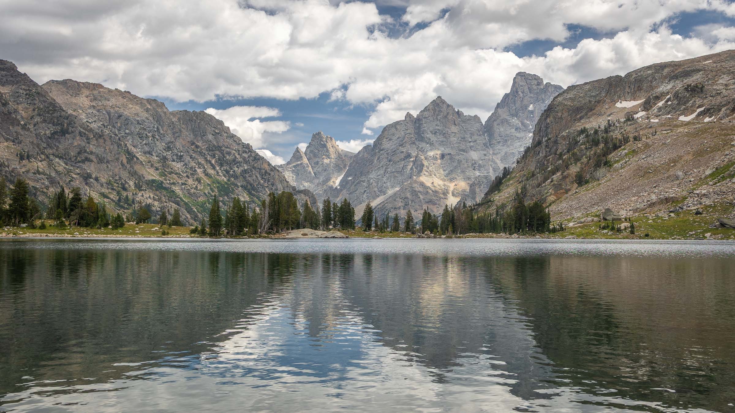
Lake Solitude and the reflection of the Tetons
Then a Huge Day Hike
The next day, we set out on a very big day hike. I had originally hoped to sleep in this area, but the campsites were already booked. As is often the case in the most popular parks, if you have not managed to obtain a permit, you either have to give up or complete the route in a single day. We choose the second option, with a large loop from Jenny Lake to Lake Solitude.
We start from Jenny Lake, one of the park's best-known lakes, with the Teton Range in the background. It is also one of the places often seen in photographs, with the mountains reflected in the water when conditions are good. From there, we climb toward Lake Solitude, a well-known lake in the park, before returning via the other side near Holly Lake. The loop is long, around 40 kilometers on our route, and we need to keep up a good pace. We do not really have time for long breaks, but it allows us to see a beautiful part of the park in a single day.
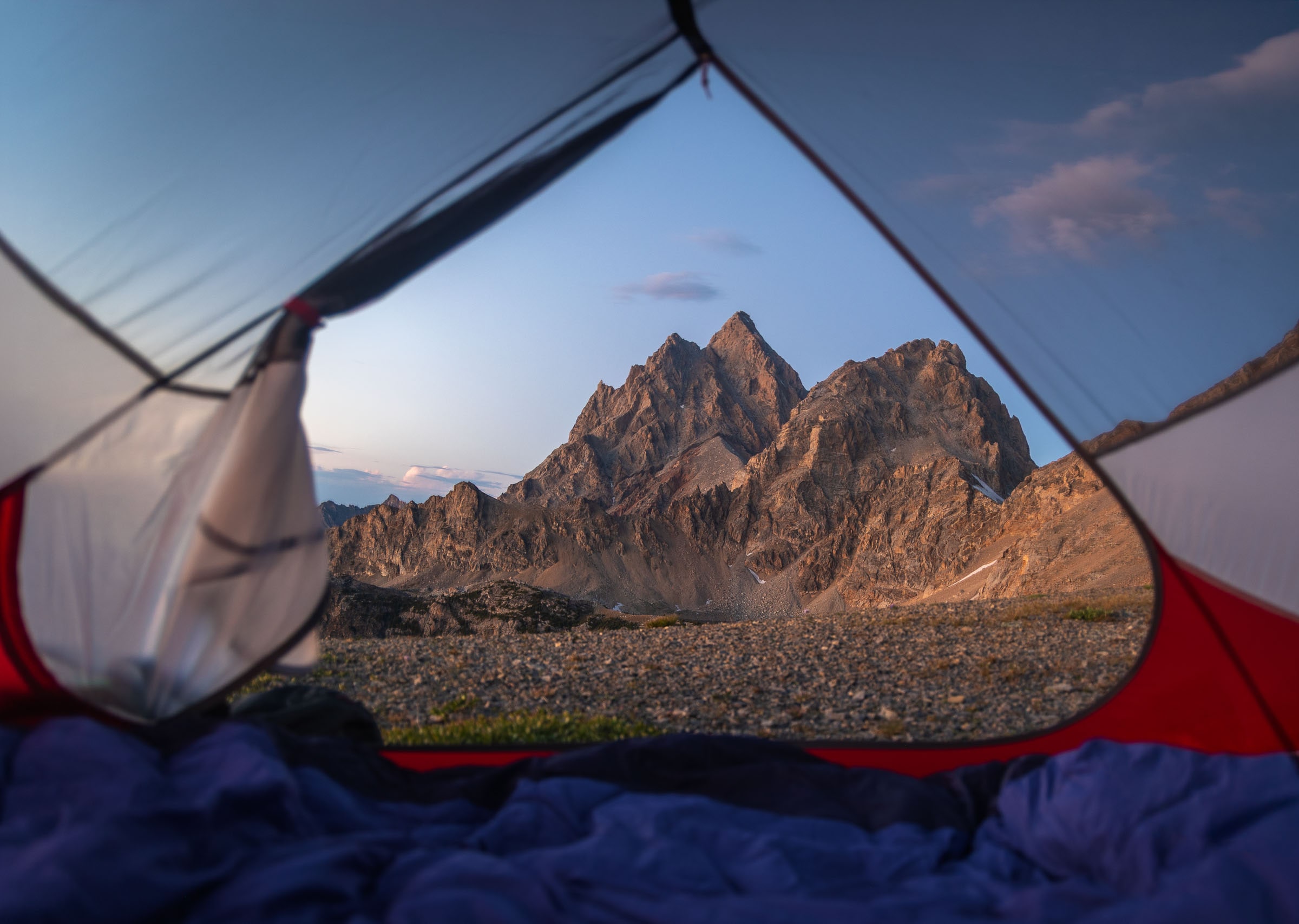
A window onto the Tetons
And Finally, a Multi-Day Hike!
After this first big hike, we still wanted to bivouac near Grand Teton. As it was difficult to obtain a permit inside the park, we look for an option along the national park boundary. We set off on a two-day loop from Death Canyon Trailhead. The idea is to hike through the national park first, then reach the boundary with Caribou-Targhee National Forest, where the camping rules are different.
We first follow Death Canyon Trail, then climb toward The Wall, a long ridge on the boundary between the national park and the National Forest. The approach is a little tricky: the terrain is quite unstable, with sections through scree, and we need to stay alert. But once up there, the view is truly superb. On one side, we look toward Idaho and the National Forest, with small lakes below. On the other, we have a magnificent view of Grand Teton, the park's peaks and other lakes farther down.
A storm is brewing, and the rain reaches us shortly afterward!
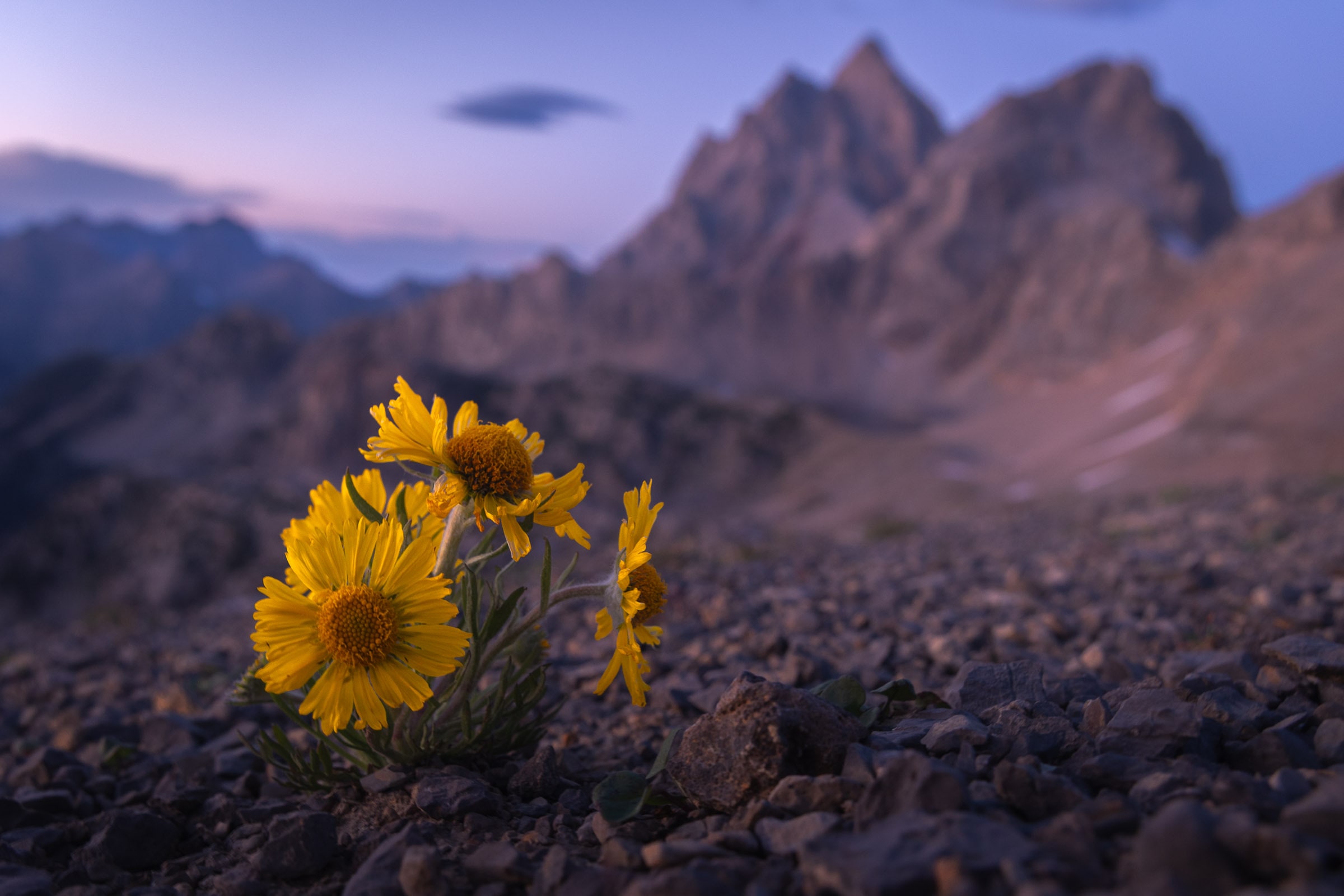
The resilience of the flora
A Three-Star Wild Camp on the Park Boundary
We pitch our tent on this ridge, with a wide open view all around us. Below, we can see Snowdrift Lake, a beautiful glacial lake surrounded by rockier terrain. It is exactly the kind of place we had hoped to find: close to the park but outside its boundaries, isolated enough to feel as though we are truly sleeping in the mountains.
The next day, we continue the loop, gradually heading back toward Grand Teton. The route then takes us back toward Death Canyon and Phelps Lake, which we see again before returning to the car. In total, the loop is about 50 kilometers, with a very demanding first day involving roughly 1,900 meters of elevation gain, then another 700 meters on the second day. It is clearly a major undertaking, but it was worth it to be able to bivouac near the park without relying on permits that were already fully booked.
Our campsite on the edge of the park... but still outside it!
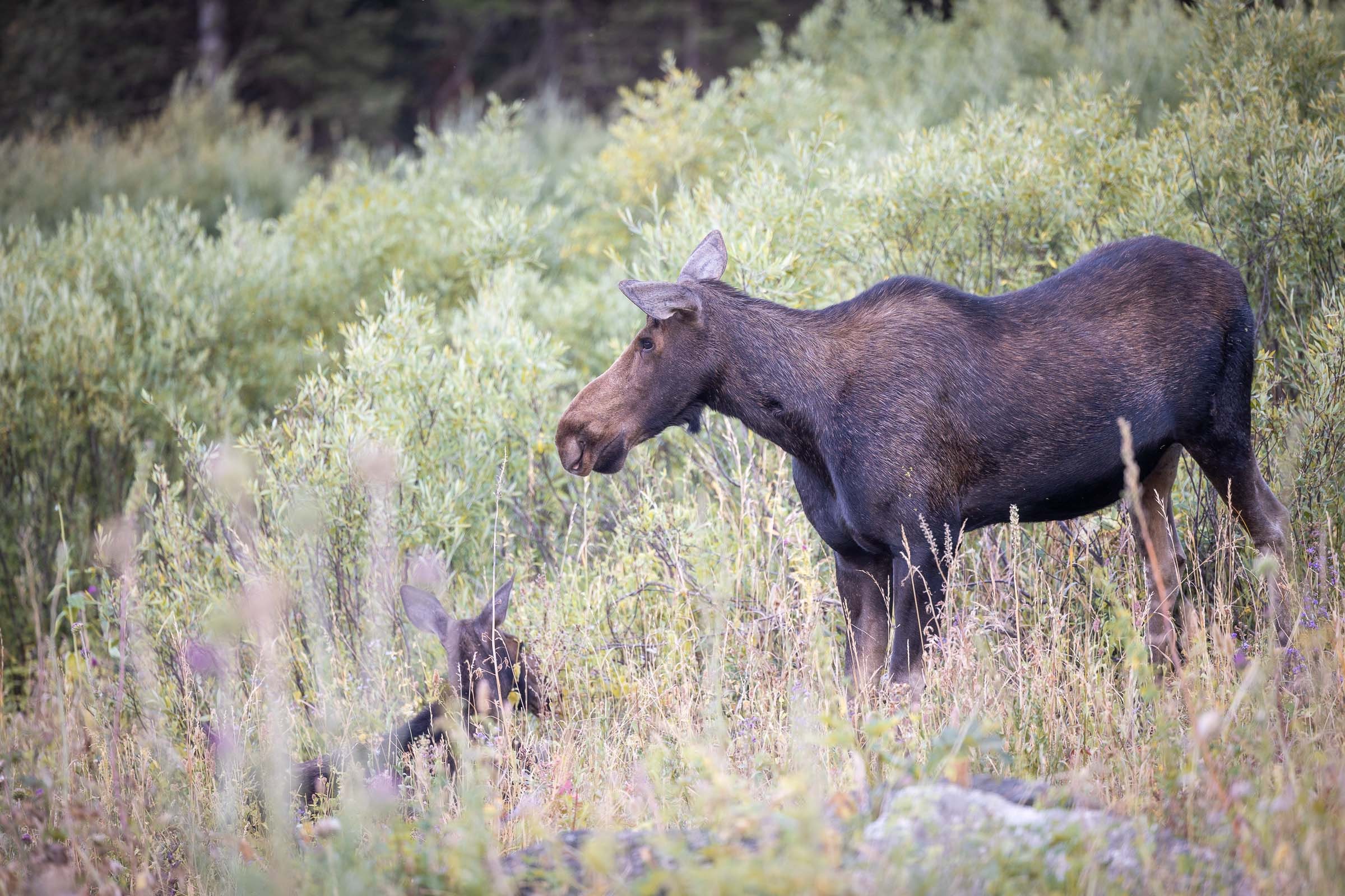
A mother moose and her well-hidden calf
Wildlife Watching and Heading Back West
That evening, we also take the time to visit Moose Ponds, an easy short walk near Jenny Lake that is known for moose sightings. We hoped to see at least one during our time at Grand Teton, and we are finally lucky enough to spot a female moose with her calf. We also encounter other deer with their young, adding a little more to our list of animals seen during the trip.
After these final moments at Grand Teton, it is time to get back on the road toward the west and begin heading back toward Seattle. We still have one last park to discover before the end of the trip: Mount Rainier National Park. But before getting there, we have to cross a large part of Idaho and then continue into Washington State. The drive is long and will take almost a full day.
≈13 hdrive
Mount Rainier National Park
Mount Rainier National Park is our final stop before the end of the journey. The scenery is once again very different from everything we have seen so far: here, the park is dominated by an immense glacier-covered volcano, which gives the park its name and can be seen from a great distance when the weather allows.
On the road, before we even enter the park, we are lucky enough to see Mount Rainier standing out on the horizon. At that moment, we think the next two days are looking rather promising.
Spoiler alert: this will be more or less the last time we see it properly. Once we are inside the park, the weather deteriorates, the clouds settle in and Mount Rainier disappears behind a large gray curtain. As we have only two days there, this inevitably limits our visit considerably. In the end, it is probably the park we see the least of during this journey, and clearly somewhere we will need to revisit when the weather is a little more cooperative.
Hello, Mount Rainier!
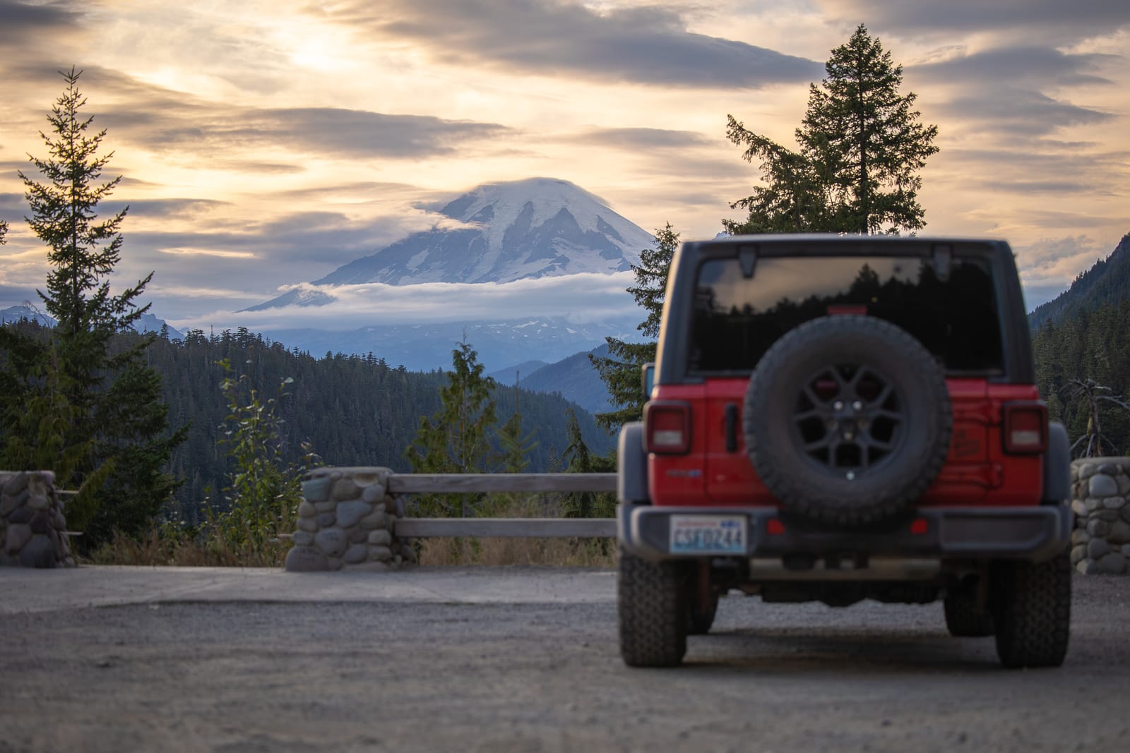
Our One and Only View of Mount Rainier
We had anticipated the poor weather at Mount Rainier and booked a night in Packwood at a fairly typical hotel with something of a saloon atmosphere. As rain was forecast, we thought it might be better to sleep somewhere dry rather than under the tent. On the evening we arrived, we therefore took our time in Packwood and went out for dinner.
The rain was indeed there the next morning. We took shelter at Mountain Goat Coffee, a local café where we spent much of the morning waiting for a break. The forecast suggested a calmer window in the afternoon, followed by more rain that evening. The next day was supposed to be better, so we decided to try our luck anyway. On paper, the plan was simple. In practice, of course, it was a little less so.
Late that morning, we went to the ranger station to collect a wilderness permit. Mount Rainier's best-known route is the Wonderland Trail, which goes around the volcano and whose campsites are in very high demand. But as we had little time, we were not trying to complete a long section over several days. Our idea was simply to find somewhere to bivouac with a beautiful view, then take a short hike the next day before returning to the road.
Bivouac in the Storm
What is interesting about Mount Rainier is that, in addition to conventional campsites, it is also possible to request a permit for certain wilder areas. In that case, you do not reserve a specific site: you are assigned a zone, then have to find a suitable place to pitch your tent yourself. It is not always easy because these areas are not necessarily very comfortable for camping, but it gives us a little more freedom.
We eventually obtain a permit to camp below Skyscraper Mountain. On the map, the spot looked perfect: a high location with the possibility of a beautiful view of Mount Rainier. Spoiler alert number two: the map forgot to mention the "night in a washing machine" option. We pitch the tent on a fairly exposed, rocky slope with no real shelter. The wind picks up during the evening, then the night turns into a full-blown storm. I spend part of the night wondering whether the tent will hold or end its life somewhere else in Washington State.
When the wind finally dies down, I tell myself that at least it might all have been worth it if the view is beautiful when we wake up. Except that at daybreak, there is no view. Nothing. Just mist, gray skies, and Mount Rainier completely hidden. Needless to say, we are pretty disappointed. So we pack up the tent without ever seeing the volcano, despite all our efforts to sleep facing it.
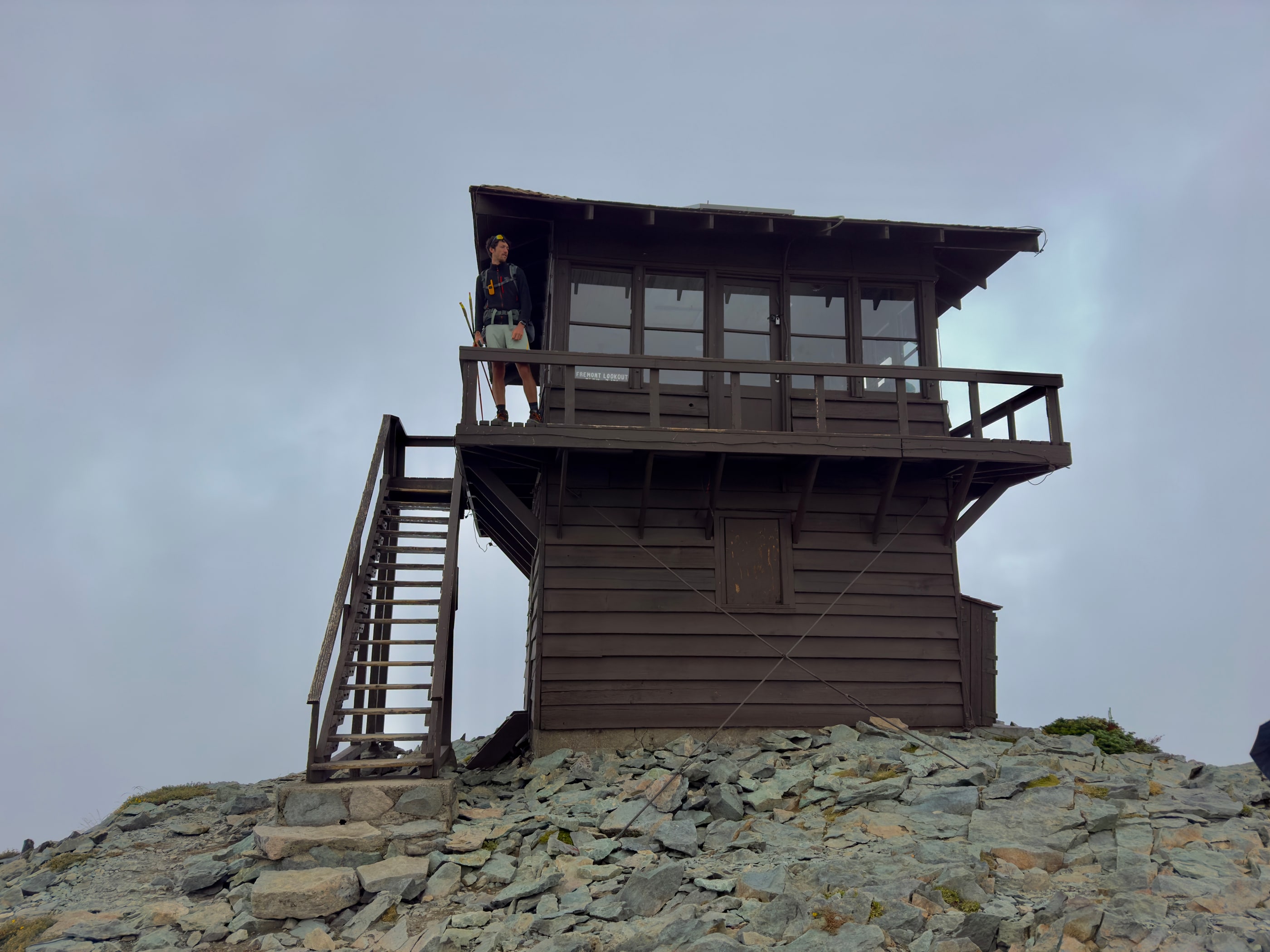
Romain visits the lookout
Mount Fremont Lookout
Rather than leave straight away, we still decide to hike up to Mount Fremont Lookout, one of the best-known fire lookouts in the park. As is often the case in the United States, it is a former observation post used to spot forest fires, perched high up to provide a wide, unobstructed view. In theory, at least. That morning, the clouds do not really move and the view remains completely obscured. We do get to see the lookout, which is something, but not the panorama for which it is known.
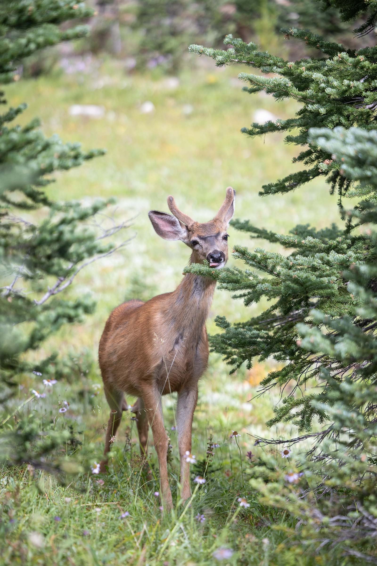
Still No View From Mount Fremont, and Already Time to Leave...
Along the way, we spot a fox, a few chipmunks and marmots, and we also eat blueberries beside the trail. Without a view, we take what consolation we can. We then descend toward Sunrise to collect the car, with a simple conclusion: we will have to come back to Mount Rainier.
This stop also marks the end of our road trip. That same day, we drive back to Seattle because our flight leaves that evening. After this final morning in the mist, we leave the parks of the American Northwest, return to the city and complete the loop, one year after our first road trip in the West.
Time to head home!
Julie Dzialoszynski.
Read other stories