
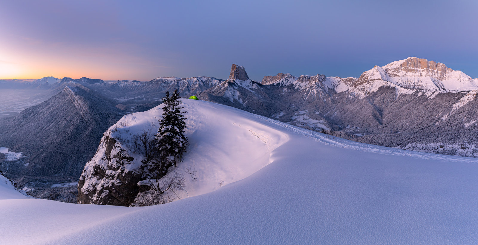
To go or not to go? That's the question I kept asking myself all morning on that February Saturday. Cold, recent snowfall, clear skies... "We won't find these conditions again anytime soon," a little voice whispered. I wanted to experience this adventure solo. My first solo winter bivouac. So, after weighing the pros and cons for far too long only to realize that the only obstacle to this venture was myself, I decided to go!
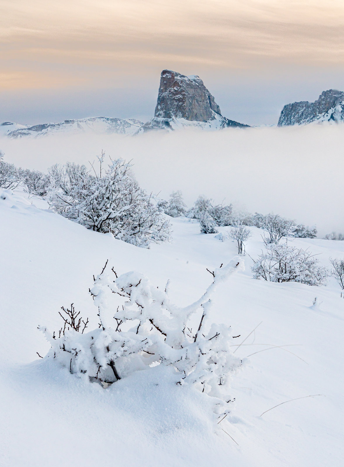
So I set off quite late, starting the hike at 5 PM from the Gresse en Vercors ski resort, less than an hour before sunset. I’d resigned myself to missing the sunset at the top and arriving by headlamp.
I made sure to take the shortest path to the bivouac spot I had been eyeing. After some hesitation about the route and a brief photo stop once I was above the sea of clouds, I arrived as expected in the dark.
And what a surprise to discover upon arrival that what I had taken from afar for eyes (very large ones, admittedly) was actually an illuminated tent. Someone had had the same idea of coming to bivouac in the same spot in the middle of winter, quite a coincidence!
I try to be discreet so as not to disturb the people already set up and establish my camp on a small rocky ledge, to have a front-row seat for the sunrise the next morning.
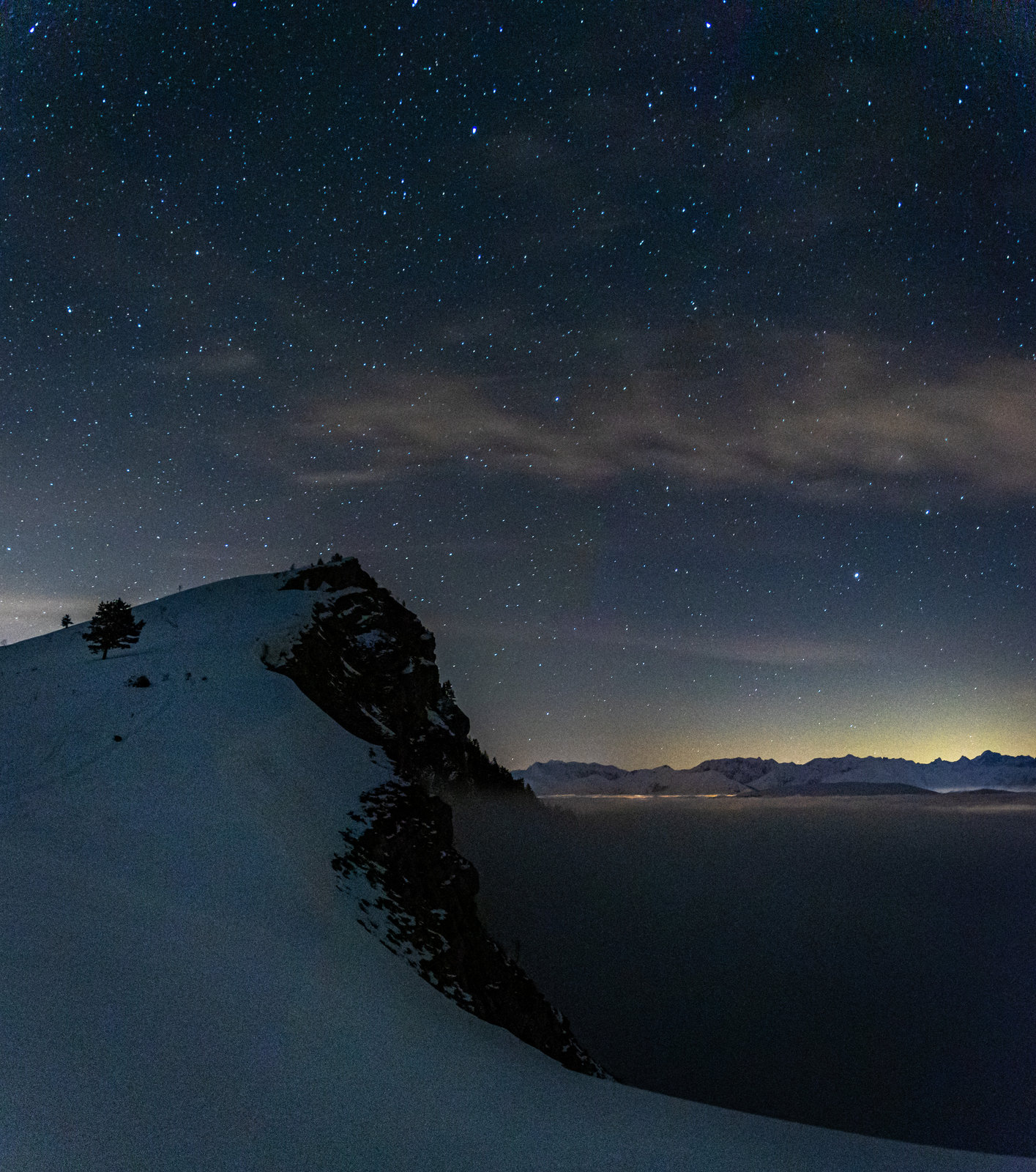
After a good meal, I go back out to take some starry sky photos...
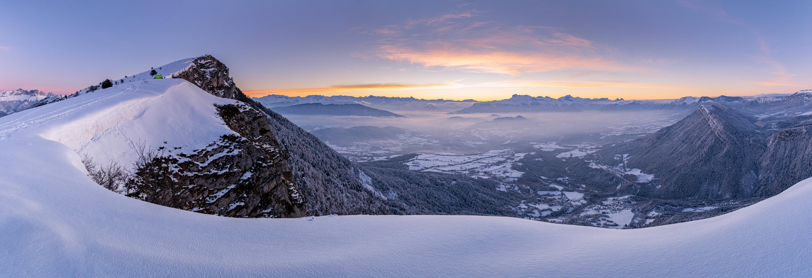
And off to bed for a restful night! Well, rather for a long and cold night. -14°C on the thermometer, I admit that for the first time, I was a bit cold despite my sleeping bag’s comfort rating of -12°C. So it was with some relief that I finally glimpsed the first light of dawn through the tent fabric. Time for an hour of pure spectacle!
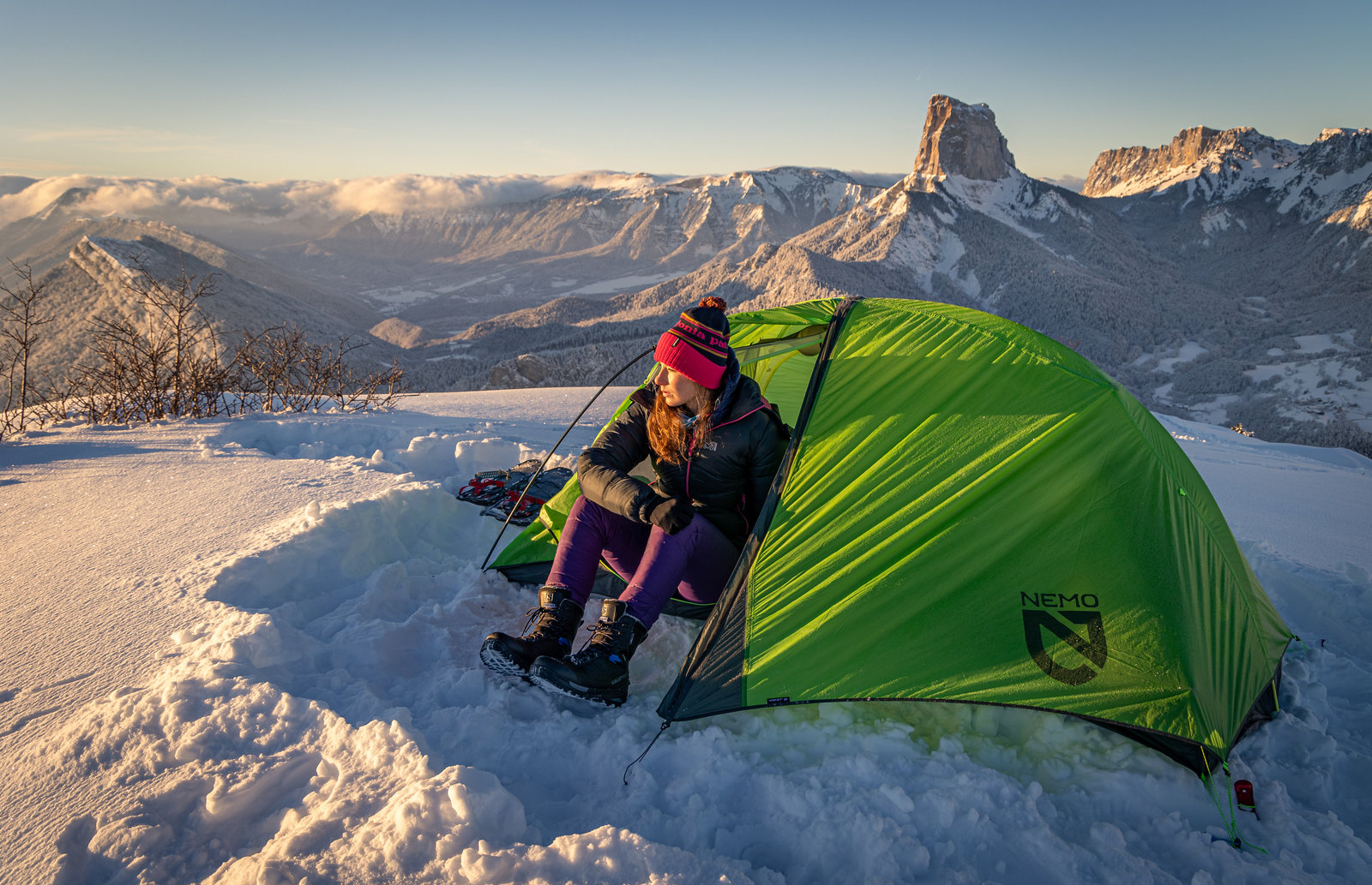
Back at the tent for a quick breakfast, and then it's time to pack up and head up to the ridge that I didn't have time to explore the previous evening.
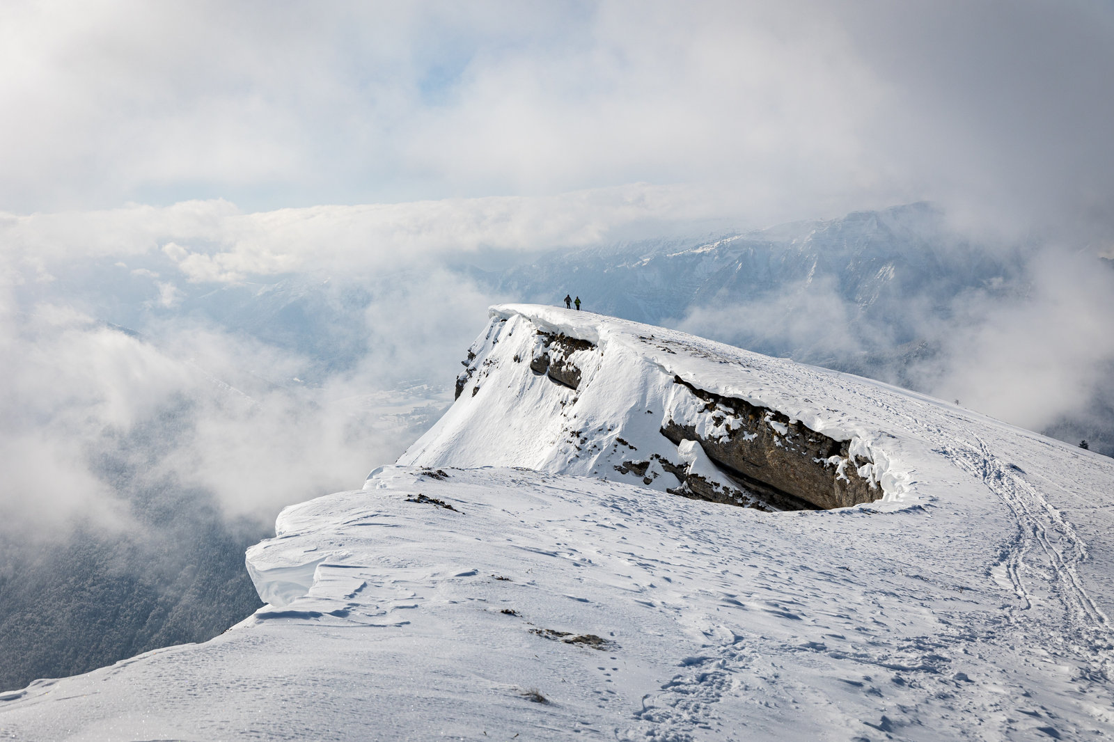
I complete the loop by passing through the Rocher du Baconnet, the highest point of the ridge, and descend after reaching the Croix de Saint Paul, where I encounter once again the crowds I hadn't missed! The car is reached barely an hour later.
You can click on the route map below to access a page where you can download the GPX track. There is an off-trail section that is fairly easy at the beginning. That said, when the trail hasn't been broken yet, it's better to have a GPS for navigation!